After a great day of riding into the southern part of Zion National Park, near Hurricane, Utah, I spent the following day, Saturday, with Jon Tanner, Michael George, Craig Sorensen, and a number of members of the Missouri Fox Trotting Horse Breed Association riding Red Mountain Trail, just northwest of St. George, Utah.

This trailhead is located just north of mile marker 15 on Highway 18. There is a very nice parking area with a restroom, which was built by the local Back Country Horsemen Association a few years ago, with the cooperation of the Bureau of Land Management. The parking lot was built to accommodate horse trailers and allows even large trailers room to park and maneuver in the lot. There is no running water and no electrical service, so you’ll need to consider that if you’re hauling horses from any distance to this trailhead. There are no parking fees, but I’m not sure if overnight camping is allowed. You’d have to check that with the local BLM office.
Once we got everyone together, we had about 31 riders, most mounted on Fox Trotters. There were at least two other groups, smaller than ours, starting on the trails at about the same time. There are several trails and plenty of room for all and we never bumped into any of the other groups while on the ride. The Red Mountain Trail makes a loop of about 6.7 miles, starting at one end of the parking area and ending at the other, so you can pick which direction you want to go. There are steel gates at either entrance, built to allow hikers, bicyclers, and horses, but not ATVs. As this area is actually outside the Snow Canyon State Park, dogs are allowed on the trails off-leash.
 We headed out the south end of the parking area and got just outside the gate and waited while we gathered our forces. Once we got started, the group quickly separated into several smaller groups, all traveling the same direction. With a group of gaited horses, such as Fox Trotters, there are those who travel quite a bit faster than others, so those who wished to slow down a bit, and stay out of the dust trail, hung back a bit.
The terrain, for the most part, consists of very fine sandstone dust, juniper trees, manzanita, and sage. There are several parts of the trail that are pretty rocky, and a couple places that might present a challenge to the uninitiated rider, but I would consider the trail to be in the category of fairly easy overall. Many of our horses, including mine, were barefoot and handled it very well.
About half-way through the trail loop, one suddenly comes upon the northern rim of Snow Canyon, which drops away about 1,400 feet in sheer cliffs from the trail. There are no walking paths and no guardrails, so one has to pay attention to things when going up to the edge for a look or for photos.

What one sees here is breathtaking and cannot be adequately captured on my little iphone 6 camera. I did my best, but this is a sight one must take a look at in person to really experience it.
We broke there for lunch and sat around enjoying stories from some of the more experienced riders in the group, which was enjoyable all in itself. This area is primitive, so don’t expect any picnic tables or trash cans.
After a restful half-hour or so, we mounted up and headed out to finish the loop. The entire ride took under 3 hours, covered 6.7 miles, and was quite easy on the horses and riders. On the way out, there are at least two trails that diverge from the main, so one must pay attention to make sure he/she is tracking where they want to go. The trail markers were not entirely clear as to which way was back to the parking area. Having someone along who actually knows the trail is nice, but not absolutely necessary, as one would have to try pretty hard to get lost. Just keep tracking east and eventually you’ll hit the power lines and Highway 18. Then just look around and you will be able to find your way back to the parking area, since the area is almost clear of trees for at least a hundred yards from the highway.
 This was a short ride and would make a good “filler” ride for some extra time during a weekend trip to the area. There are a number of other similar trails in the area, so one could actually fill up a weekend, and more, hitting them in turn. Each trail around the Snow Canyon area holds its own particular spectacular views and adventures.
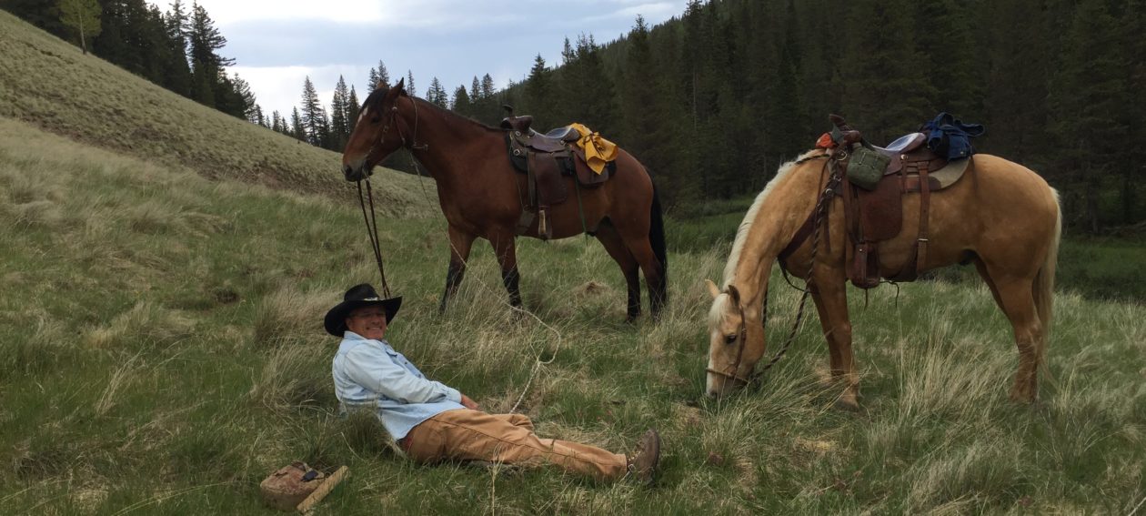
Enjoy the photo gallery.


You must be logged in to post a comment.