
Back in 2018 I composed a blog post about my love for time spent with my horses. I just re-read it and realized it needs some updating, it now being the final months of 2025. But, rather than just do that, I just thought I’d write something about the horses I have owned that hold the warmest places in my heart. You never forget those you’ve had, and I’ve had a few pretty good ones. But there is always room for more.
I am getting to the age that I can see that my riding days are numbered, but I still can’t see the end; I have some good years left. My father finally hung up his spurs at age 85, after several months of recovery from being bucked off his horse. He was concerned that if he were seriously injured again, he might not be able to care adequately for my mother, his one and only love and wife of more than 67 years. So, I now have his spurs on my bookshelf. Spurs handmade by him. I also have a pair of custom made cowboy boots that belonged to my great-grandfather, as well as his cowboy hat, an original Stetson.
I will eventually edit this post to include photos of those things.
So, you can see that this “horse thing” is in my blood. It is a large part of who I am.
I don’t remember my first experiences with horses, but I have an old photo of me riding behind my older sister from probably about 1961.

I must have been about 3 years old. I remember having a pair of chaps and a cowboy hat (probably hand-me-downs from my sister) and a cap gun revolver with a plastic holster. I remember running around with a stick horse, yelling “Hi-yo Silver! Away!”
In my early years I recall my parents taking us kids on horseback rides. In fact, when I was about 4 or 5 years old, I was on a horse with my mother, when the rented horse ran away with us and eventually dumped us in a bar ditch not far from the stables. Mom broke her right knee (I think it was the right one) and I dislocated my left thumb. My enthusiasm for horses, however, remained undaunted and I have lived to have many, many more adventures with horses.
During my elementary school years, my family lived in northwest Florida, where my family first owned horses. My parents bought an old Quarter Horse from a rental stable. Her name was Babe. She was raised as a cutting horse in Texas. My brother and sister and I were allowed to save up our money to buy a pony named Sugar. Sugar taught us about all we needed to know as kids about riding and much about handling a horse. As we grew, we each graduated to riding full-size horses. We began participating in local horse shows, where I learned barrel racing, pole bending, and other athletic horse events.
I remember my brother and I trying to break our pony, Sugar, to ride double. With my dad watching from the arena railing, I would mount up behind my brother and we would start riding. Within a few steps, Sugar would pitch into a full-fledged buck! I would last only a few jumps and off I would go, tail over teakettle, as they say. We did that time after time after time, with Dad laughing to tears and Mom fretting about our safety. We never did get Sugar broke to ride double…unless you could both fit in the saddle, but we sure had fun trying! Wish I could find those old photos.
In my junior high school years, we lived in North Carolina, where we added a horse to our small herd. Dad bought Star, a beautiful sorrel registered Quarter Horse mare, for my mother. We eventually bought a small, but very athletic, appaloosa named Ringo, for my younger sister. Babe eventually became my horse and we learned a lot together. For example, I discovered that there wasn’t a horse in the county that could stay with her in the quarter mile! As we continued to participate in the local horse show events, I often won the “Fastest Horse Around the Arena” event, which usually carried a small purse.
I also loved the Western Rescue Race, which, in our small community, was a hugely popular and raccous event, involving a rider running to one end of the arena and picking up a person from the ground, then returning to the other end of the arena with him/her on behind. There were four barrels set up in the arena. Time started when the rider passed between the first set of barrels, he/she had to pass the second set of barrels, pick up the rider, who had to be astride the horse before passing back past those barrels, then sprint back to the start. A qualified time was entered when the horse with both riders passed back past the first set of barrels. Over time, it was discovered that we could get far quicker times if we passed outside the barrels, along the arena rails, which was allowed, as long as the other rules were kept. We took the competition seriously and the runners (those being “rescued”) would dress down for the event: barefoot, jeans rolled up, T-shirt or sometimes no-shirt, in an effort to squeeze just one more tenth of a second off the clock.
So the event generally went as follows: The rider comes into the arena with a horse all fired up and ready to run. They would fire down the rail at a full run on the right side of the arena, passing the first, and then the second barrel. The person being “rescued” would start running as the horse was midway along the rail between those two barrels, in an effort to collide with the horse and rider at a sharp angle about midway between the two barrels at the far end of the arena, as the horse raced around them. A successful “rescue” would result if the runner on the ground was able to reach the horse in full stride, while the rider hooked his/her hand firmly around the saddle horn; the runner catching the crook of the rider’s elbow and let momentum carry him/her onto the back of the horse, landing behind the rider. If all worked well, the “rescued” would have both legs around the horse when they passed the last barrel and a qualified time would result. A winning time was generally in the area of about 15-17 seconds. Often, however, the runner would mistime the approach to the running horse or miss a grab at the rider’s elbow and get trampled under the pounding hooves, or get tossed by too much momentum completely over the horse and sent crashing into the arena fencing. What fun! I don’t ever recall any serious injuries having occurred…surprisingly.
During our time in North Carolina, from about 1970-74, Dad purchased a farm of 90 acres, on which we built a horse barn and training arena. Dad started a horsemanship school and rented-out and boarded horses. He even helped in training a few unruly horses for specific clients. We eventually owned, I think, 16 horses and a couple of silly goats. I watched and learned and found I had interest in training horses. I read the official manuals and learned the rules for Western Horsemanship for the show circuit. I found I truly enjoyed working with the horses and it wasn’t just a passing interest.
During that period, Dad, an officer in the U.S. Air Force, accepted a transfer to Arizona, where I spent my high school years. We took four horses and the pony with us and set up our little “ranchette” on five acres in the northeast part of Tucson. One of the horses we brought with us was my young half-Arabian colt, Char. He was a solid black yearling out of a mare we owned in North Carolina. He was a rambunctious little fellow and we had fun together growing up. He was the first horse I ever raised, broke, and trained on my own. I recognize now how many mistakes I made during his training, but he and I got along just fine. Char was a good teacher.
During the spring of my Junior year in high school, Char turned two years old. All the following summer, I would arise early, clean the pool, which was one of my daily chores, then head down to the stable and get Char saddled and we would ride and train for two hours. Char was playful more than disobedient, and we had several serious “discussions” during his training, which resulted in me learning some training precepts from experience and him becoming a pretty good horse to ride. He never bucked…at least not from the heart…and he had a comfortable little jog that he could do all day long. He wasn’t much over 14 hands, but he was strong and I was pretty small myself, so we worked out very well together.
About the end of the summer, though, my Dad, who was now retired from the USAF, lost a job prospect and we had to sell a horse, which turned out to be my colt Char. While I was heartbroken, I didn’t complain and I didn’t let it get me down, as I was old enough to understand that we were having financial difficulties, so I transferred my affections and attentions to my mother’s horse, Star. Mom rarely rode horses those days, so I was comfortable with that. It was during that period that Dad took my brother and me on our first horse hunting/packing trips and the direction of my future with horses began to change.
Incidentally, Dad and I were talking just a few years ago and in our reminiscing about the horses we had owned and loved in the past, I talked about that summer I spent breaking and training Char. Dad looked at me with shock and remorse and told me that if he had known that, he would never have sold Char. Dad was always gone to work by the time I arose at about 6:30am and he simply didn’t know. He thought Char wasn’t getting any use, so he was the horse to be sold. So is life, and on it goes.
After graduation from high school, I spent a couple years serving a proselyting mission for the Church of Jesus Christ of Latter-day Saints, after which I headed for college. By that time Mother and Dad had moved to the Springerville/Eagar community in eastern Arizona, at the edge of the White Mountains. They still had a couple horses, so I had the rare opportunity to ride when I visited from school. I married my sweetheart in 1982 and several years after that, started my career in law enforcement. That made it impossible for me to have horses for many years. During about 1997, however, while living in Farmington, New Mexico, I finally bought a young mustang we named Max, and eventually acquired another horse or two. We had some enjoyable experiences with Max and I took my kids out on the horses as often as I could, but I had little time for horses, as my career occupied most of it. Of my five kids, only my three daughters have grown to enjoy horses, though horses have not become a part of them as they have with me. And that’s ok. I’m glad I have at least been able to give them the exposure. Who knows what will come of that as their kids grow.

I had to leave my horses when we were transferred overseas for a few years, but toward the end of my career, while my youngest daughter was in high school, I decided to buy another horse and see if that was something she would gravitate toward; she was pretty young during the years we had Max. We were living in Virginia and I found a young mare whose owners were having trouble with her and didn’t have the experience to know what to do with her. I bought her for a low price and was able to get her settled down and turned her into a nice horse to ride. It was challenging, though, and I learned a few more training precepts that have added to my repertoire. As it turned out, my daughter was more involved in school sports than horses and that was ok, too. I rode the mare, Penny, as often as I could and even engaged in teaching a young woman, whose family I knew, the basics of horsemanship with her. The photo below is a quarter horse I often borrowed, with my youngest daughter, Gina, mounted on Penny.

As life would have it, I retired from my government career in 2012 and within a couple of years my daughter graduated from high school and headed off to college. My wife and I decided to make a move to Utah, where most of our kids were living. Just a few months prior to our move, a gate was left open where we kept Penny and she got into a barrel of sweet feed grain, which brought her down with severe founder. Try as I might to help her recover, and after spending thousands of dollars on vet bills in an effort to save her, we had to put her down. My blog post on that sad experience can be found here.
We hadn’t lived long in Salem, Utah, when I decided it was time for me to have another horse. This time, however, there was purpose in my mind, other than simply horse ownership. I was planning, with my father, a horse pack trip from the US/Mexico border to the US/Canada border. I had decided I wanted a gaited horse for this trip and my mind was settled on a Missouri Fox Trotter (due largely to the influence of my good friend, Jon Tanner). After some shopping around, I bought a young non-registered Fox Trotter gelding, whom I named Ranger.
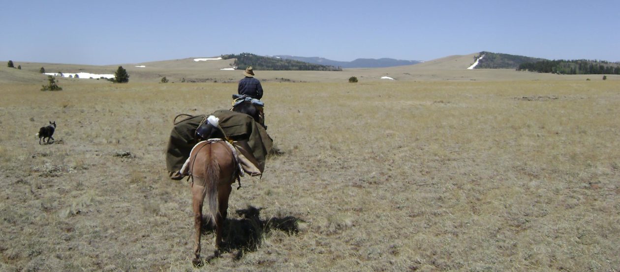
He was a tall, thin, rangey gelding that I fell for immediately upon meeting him. His head was a little too big, his neck a little too long, his back a little too short, a little thin across the chest, deep from withers to brisket, strong – he could keep a gait for miles and miles – and he was smooth. He turned out to be the right horse at the right time for me and we soon became a team. He was my primary saddle horse when Dad and I made the first leg of our Mexico-Canada horse pack trip. You can read a detailed log of our trip among my many blog posts. Just search Mexico and they should come up.
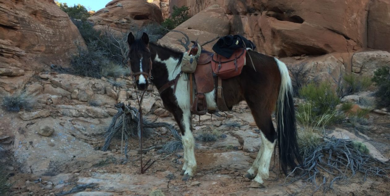
As a part of the remuda of horses I bought for the Mexico-Canada pack trip, I also bought a registered MFT mare, named Hot Tin Lizzy V, also known as Lizzy. She turned 4 years old during the first leg of our horse pack trip and she was a peach. Lizzy was essentially green-broke, but she was such a willing and courageous little mare, that she quickly made her way into my heart as well. She eventually became the best trail horse I have ever owned, and I have had some good ones. Lizzy loved to be out on the trail. In the mornings, when I would saddle her up for a ride, she would be excited to get started. Not unruly, mind you, just happy to be heading out for a ride: Ears pointed, nose on the trail, and moving down the trail at a walk that would make Quarter Horses trot to keep up. She had no concerns about leaving the group; if they couldn’t keep up, that was their problem. I loved that! And I loved her.

Just as we were about to depart for the first leg of our Mexico-Canada horse pack trip, we were still one horse short of what we needed. One night my dad called me and said he had some friends who would give us a mustang…FREE. I like FREE, but I knew from experience that horses are given away for a reason: they couldn’t be sold for some reason. The last thing we needed on this pack trip was a problematic horse running away across the mountains with our gear on his back! I told my Dad to go take a look and if he approved, we would take him. As it turned out, Jimbo became a very solid and reliable pack and saddle horse. The big problem with him was that he could not be caught and the owner was tired of having to rope him in the corral every time he wanted to use him.

I worked with him in a small corral for a week and finally got him to let me put a halter on him. After that, we were careful, but he continued to trust us more each day and we had no trouble with him during the pack trip.
A funny story about Jimbo. I once went to load up all my horses for a day trip in Utah. I went out to the corral and was able to catch up three of my four horses. Jimbo would not let me catch him, so, after several frustrating tries, I just told him that was fine and left him alone in the corral. When I returned at the end of the day, I unloaded and brushed the other three horses and let them into the corral. I found Jimbo standing at the gate. I thought he was waiting for the other horses to return. However, after I let the other three back into the corral, Jimbo kept standing right in front of my face; he wouldn’t leave me. I finally had to put a halter on him and take him out to the trailer and brush him, then lead him back to the corral. It was as if he were telling me he was sorry and was never going to be left behind again! He was never a problem to catch after that.
Before the second leg of our Mexico-Canada trip, I bought a young Quarter Horse gelding I named Reno. He was a hefty youngster, standing about 15.2 hands and weighing in at an estimated 1100 pounds as a 4 year old. He was strong, willing, and calm. He was easy to break as a pack horse and was a great help to us on our trip. He replaced a QH mare I had borrowed for the first trip that was an unending problem from start to finish. Her name went from Daisy to “that stupid mare” on the second day of our first trip. So, I got rid of her and bought Reno.

Reno was a beautiful palomino paint and I enjoyed him. I spent some time training him before our trip and learned he was a good, solid horse. However, being a Quarter Horse, he had to trot to keep up with my gaited horses, which made him a little problematic as a pack horse. I sold him after we finished the second leg of our big pack trip.
Sadly, during the second leg of our Mexico-Canada pack trip, one fateful night, Ranger got caught up in his lead rope and before I could free him, he broke his front left leg and had to be put down. His one fault was that he was prone to panic when surprised or frightened. That was what finally cost him his life. That was a very sad night for me. Dad and I were able to have a friend come out and pick us up, as we just happened to be near a town and near a road. We spent a weekend back at Dad’s house, in Eagar, Arizona, while I mourned the loss of my friend, Ranger.

At length, we decided to continue with the pack trip. I had brought along Lizzy as a backup horse, in case something like this happened, so I loaded her up and we continued the trip where we left off. This was the ride that cemented Lizzy’s place in my heart as the best trail horse I ever had. She became my true friend and I relied on her like I have never relied on another horse. She was the steadying force that kept us moving forward through much of that pack trip and I loved her.

By the time we finished the second leg of our big pack trip, I knew I needed to get a foal out of her. It wasn’t long before I bred her to a registered MFT stallion I had seen locally, with which I was very impressed, DM’s Cherokee Witch Doctor. He was a beautiful black and white pinto, standing 16.1 hands, with white eyes.

In September of 2017, Chief was born.

In the meantime, during Lizzy’s pregnancy, I bought a grade Tennessee Walker gelding to replace Ranger. This one was advertised as an unbroken, untrained, 11 year old TWH, whose owner bought him at auction and intended to train and sell him. He just never got around to it. I jogged him around a corral to make sure he actually gaited, found he did, so I bought him. I quickly realized this gelding was not even close to 11 years old. I judged him to be between 6 and 8 years old and had that later confirmed by a vet, who aged him at about 6-7, not yet 8 years old. It didn’t take me long to get him broke and trained to ride. He was no slouch, though, and on his third ride he bucked me off into the grass, because I accidentally gouged him with a spur while getting into the saddle. After that, I was more careful and he was more forgiving. He was the most beautiful horse I have owned. A beautifully dappled palomino with a perfectly proportioned head, pointed ears, and a wonderful running walk gait. I named him J. Golden. Here’s why. What a great trail horse he became.

He and I spent a lot of time together on some pretty wonderful trails. I eventually took him on a moose hunt in Alaska, which I considered to be a post-graduate course in trailcraft for horses. He was amazing! I remember one evening, my hunting buddy and I were heading back to our camp. It was getting dark and we did not want to get caught after dark out on the trail in the dense forest in grizzly bear country. J set a killer pace of around 7 miles per hour, tromping in a space-eating running-walk through almost knee deep tundra, up and down long hills, until my buddy behind me yelled, “Hey, slow him down! He’s gonna kill us!”

After I got home from that trip, I decided to sell J. He was a great horse, but just before the Alaska trip, he somehow injured a rear hoof just into the coronet. It was a deep puncture wound. The vet opined that it would not lame him and that it was ok to take him on the Alaska trip, but that he would likely have a quarter crack in that hoof ever after. That was pretty much a death sentence for the the mileage I intended to put on him. A horse with a severe quarter crack just wouldn’t make it without special shoeing and care.
At that time, I had a client for whom I was searching for just the right horse. She had experienced a traumatic injury on her previous horse and she had severe anxiety as a result. However, her love for horses and riding would not allow her to give up. I just had to find her the right horse. While I was looking, I had taken her and her husband out a couple times to give them a chance to try gaited horses. I put her on Lizzy and him on J Golden. We hadn’t ridden half an hour, before he rode up next to me and said, “I’ve been riding all my life, but I never enjoyed a ride like I have on this horse!” Meanwhile, the wife kept saying how much she liked Lizzy, to which I repeatedly responded, “Sorry, Lizzy is not for sale. She’s mine!” Well, when I decided to sell J, I called them and offered them a special deal on him, disclosing fully the issue with his rear hoof as the reason I was selling him. It was too soon to be able to tell one way or the other, but I told them that injury might heal fully and be no problem, but that it would likely result in a quarter crack that might require special shoes and farriery. They happily bought him. As it turns out, the injury healed fully, leaving only a small wave in his hoof below the injury to the coronet. No Quarter crack, no special care, no lameness.
Not long after that, this couple contacted me with several videos of horses they had been trying out, asking for my opinion. I saw none of them as being right for this lady. I knew they would not be happy with any of them and she would likely end up not being able to overcome her anxiety. One night the thought occurred to me that she needed Lizzy! Oh, how I struggled with that thought. I not only worried that I would regret selling Lizzy, but I worried that I might cause them financial hardship, because I could not afford to let Lizzy go cheaply, since I would have to replace her. She was just too good of a horse. I finally decided on the minimum amount at which I could afford to part with Lizzy and gave them a call.
I had devised a plan, in which I would tell them I might have found the right horse for them, but warn them that the owner wanted a high price for her. If they said they could afford her, I would tell them I would speak to the owner and see what might be done. That way I would be sure not to put this young couple into financial hardship, because I knew they loved Lizzy and would try to buy her even if they could not afford her.

Over the phone, I spoke to the young woman and described the horse I had found for her. It was a young mare, a registered Missouri Fox Trotter, about 5-6 years old, sorrel, very good conformation, gentle, yet energetic, an excellent trail horse, with a nice gait. I said, “however, the owner is quite proud of her and is asking $xxxxx for her.” As I described her, I heard her husband in the background, jokingly say, “Is her name Lizzy?” to which she responded, “Oh, be quiet!” The woman then told me she was very interested in this mare and would like to see her. She explained that she and her husband had set aside money they had budgeted specifically for horses and that even after buying J Golden they had sufficient remaining to purchase this mare, if she worked out to be the right one. I was both elated and saddened, when I told her the mare, was, in fact, Lizzy. I could not resist, however, the joy in her voice as she screamed and cried and embraced her husband, while I listened.

I have never once, since that day, regretted having sold those two horses to that young family. I have visited them since and even gone on rides with them. The horses. are content to be together and they are ridden multiple times weekly. They are all one happy family.
As I now needed to replace my primary horses, I began the search for a pair of horses that would suit my needs. I still had the mustang, Jimbo, but planned on moving him to another home. Eventually, I found him a home with a woman in Arizona, to whom I gave him, since he was given to me. She kept him for a couple years, then moved him on to a friend of hers.
I had a good friend during this period, for whom I had done some work training horses. As a form of payment, he gave me two horses he had acquired that weren’t working out for him. One was a 16 year old registered Tennessee Walking Horse we called Oreo, she was a black and white pinto mare, 15.1 hands, very pretty, but a little spoiled and very herd-bound. I worked with her several weeks and had her behaving well. She was a pleasure to ride, except for when one tried to leave a group, at which time she became anxious, but not unmanageable for someone with even meager riding skills.

The other horse was a non-registered Rocky Mountain Gaited Horse named Calypso. She was a 14 year old mare, black, with a white star on the forehead. She stood about 15 hands, as I recall, had decent RM conformation, was not hampered by Cushings Disease (which is common in the breed), and had the very sweetest and most comfortable canter I have ever ridden. She had some good training somewhere in her background, but it was buried under years of non-use by owners who were probably less than competent horse people. I brought her back up to par within several weeks and was quite pleased with her.

I offered both mares for sale. You can read about them under the “Horses for Sale” tab on the website.
During that era, I began to gain a reputation, or rather my horses did, for being good, solid, competent trail horses. A woman contacted me, saying she had a horse that was giving her problems and wondered if I would take him on for training, to see if I could turn him into a horse she was comfortable riding on trails. She explained that she had already paid two different trainers, but both were unsuccessful in turning him into a reliable trail horse. He was spooky and excitable and she was afraid to ride him outside an arena. We agreed on a program and a price and I drove out to pick him up. He was a beautiful black non-registered Tennessee Walking Horse gelding about 15.3 hands, named Apollo. He allowed us to catch him in the corral, but once he realized we were taking him from his stable mate out to a strange trailer, the trouble began. I was able to keep him under control, but he was quite unruly and anxious. I could see this was going to be a challenge. While I was there, however, I noticed that this woman had another horse in the corral that was almost the spitting image of Oreo! It was, of course, a Quarter Horse, but the likeness was such that if one did not know both horses, they might be mistaken for each other.

On my way home, I stopped by an indoor arena where I had a membership, thinking that if this horse were to buck me off the first time I rode him, I would prefer the soft sand of the arena to the hard, rocky ground of a desert trail. After getting him saddled up at the trailer, I led him toward the arena entrance. There was a wet area on the pavement, where a stream of water had recently run, about a foot wide. Apollo would not cross that strip of dark pavement! I finally coaxed him across and he jumped high in the air to get across it, nearly falling on the slick pavement! I could see my work was cut out for me to turn him into a competent trail horse. However, when I rode him around the arena I discovered that he was nicely trained and had an incredibly smooth gait. I was quite taken with him. I ended up calling the woman and asking if she might be interested in a trade for a registered Tennessee Walking Horse mare that looked like a bookend match to her Quarter Horse. In the end, we made a straight across trade – Apollo for Oreo.
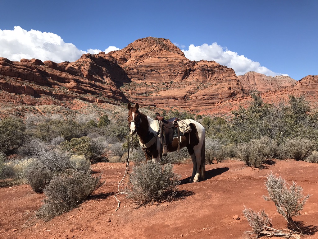
I enjoyed training Apollo and it wasn’t long before he became one of the best trail horses I have had. He just lacked experience and that’s what I gave him. Eventually, he would do anything I asked of him, calmly and confidently. I took him on several long horse pack trips, one of which was a continuation of my Mexico-Canada pack trip. He and Calypso were my horses on a week’s ride from Flagstaff, Arizona to the South Rim of the Grand Canyon. I also took him to Alaska on a moose hunt, like I did with J Golden, and put him through that post-graduate trail horse course.

However, during the Alaska trip, which is very hard on both horse and man, Apollo lost a lot of weight. I could not keep the weight on him. In his weakness at the end of the trip, he somehow injured his back in the lumbar area, similar to a lower back injury in a human. It produced a swelling that, from experience, I know can only be healed with time off, without any hard load or long rides on his back. I gave him about 6 months off, but he just wasn’t regaining his weight as I had hoped. So, I decided it would be best to move him on to another owner, who would not use him the way I needed to use a horse. He was purchased by a woman out of eastern Utah, who was very excited to have him. I haven’t heard from them since. I miss that horse.

I had Apollo and Calypso during the same period of time. They looked so much alike, other than their conformation, that they made quite a pair for me. I used them both for riding and packing and they made a number of trips together with me.
However, Calypso, just wasn’t the horse I wanted to keep. After I sold Apollo, I also moved Calypso on to another owner, a friend I knew in Arizona. She needed a good, solid horse, as she was at that age where getting dumped in the dirt just wasn’t a good idea. I sold her Calypso under a 30-day trial period, which was my way of making sure the right owner and the right horse got together. I had no problem returning the purchase price if the two turned out not to be compatible, which, turned out to be the case with Calypso. She was a little too herd-bound and her anxiety when being separated from other horses made her owner anxious as well, so I asked the woman to please drop her off at my father’s place in Eagar, Arizona and I would return the full purchase price.
Well, you will recall from earlier in this very long post, that I mentioned that Lizzy had a colt we called Chief. Around this time he was staying at my father’s place while he grew up. I weaned him at 6 months of age, by leaving him at Dad’s place in Arizona, among several other horses. He was now about 18 months old. When the above-mentioned lady returned Calypso, Dad simply put her in with his other horses, not even thinking about little old Chief. It wasn’t long before we realized our mistake and by that time, Calypso was pregnant with Chief’s foal.
I eventually picked up both Chief and Calypso and returned them to my place in Utah, where I decided to keep Calypso until she foaled, to see what would turn up as Chief’s get out of a black Rocky Mountain mare. In the meantime, I had Chief gelded.
That’s my life-lesson to young men: Unexpected pregnancy…now he’s a gelding!
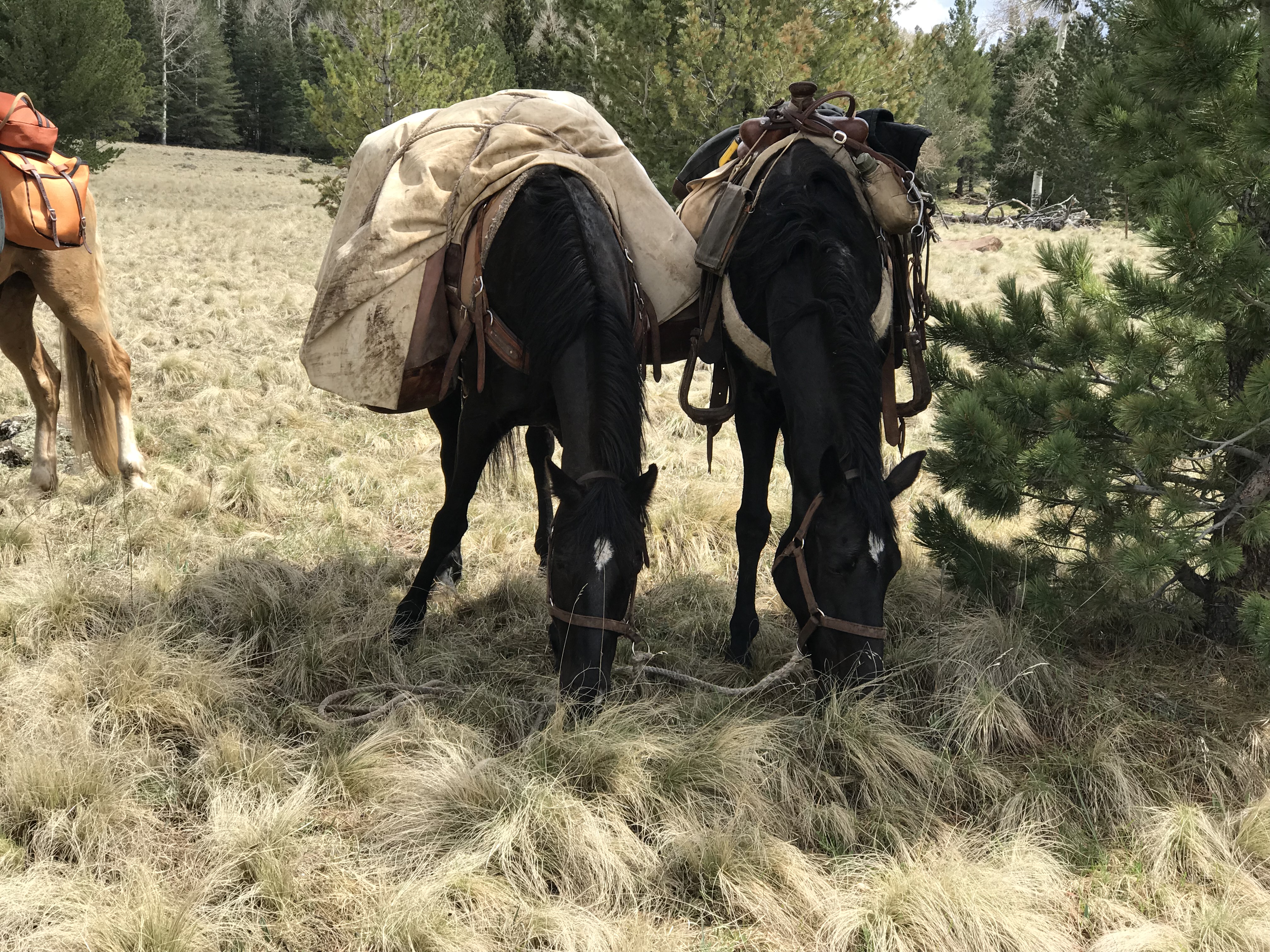
During Calypso’s pregnancy, I came to own another TWH gelding, by the name of Copper. He came into my hands the same way Apollo did, essentially. A fellow asked me to put some trail training on him, because he was a little rambunctious and the owner did not trust him on the trail. I took him on and eventually bought him from the owner. He was a pretty good match for Chief, being just a tad smaller, but very similar in color. I made several pack trips with the two and enjoyed both of them on some very difficult trails. Copper turned out to be an excellent trail horse and I eventually sold him as such. He was not one I intended to keep for long, but I enjoyed him while I owned him.

During this period, several other horses came and went through my hands, both for training reasons and selling/buying for clients who were searching for their “heart horse.” One that was special to my heart was Missy. She was a registered Missouri Fox Trotter, standing about 16 hands, built like a Ferrari! She was beautiful and I loved her. Her story is a rough one and I will tell it like it was.

One day my good riding buddy called me and said, “Hey, we’re going to the Bob Marshal Wilderness Area for a pack trip! Wanna go?” I answered with a resounding, “Yes! When are we going?”
“Monday.” It was Wednesday. I didn’t even have time to get my horse, J Golden, re-shod for the trip!
So, Monday morning, we’re in the truck, loaded trailer behind, heading north on I-15, when my buddy turns to me and says, “Oh, by the way, we’re stopping in Blackfoot, Idaho to pick up a couple of horses I bought over the phone. They’re not broke. Do you think you can have them ready to pack for us for this trip?” I took a deep swallow and said, “Well, I’ll give it a try.”
So, we stopped off at this old ranch, where an old fellow had been in the horse breeding business and was selling out. He had several Missouri Fox Trotter brood mares left and my buddy had made a deal for two of them. I got in the corral and began moving them around and noticed that one of them walked with a barely noticeable limp. Apparently she had an old injury to one of her front shoulders, which was probably why she was a brood mare most of her life. I recommended he pass on that one.
The other mare, however, was beautiful! She was 7 years old and not broke to saddle. She moved well, like a ballerina moves. She was well-proportioned, sleek and slim, like a Ferrari. I liked her right off. I told my buddy this one was a keeper. She was just broke enough to be catchable and to lead, so I worked with her a few minutes to get to know her and within a half hour I was able to load her into the trailer with the other 4 horses.

That night we got her to wear her first saddle. It was a pack saddle. She bucked and snorted and nearly got it off, but by the end of the evening, she had calmed down and allowed us to saddle and unsaddle her. The following day, at the trailhead at the Bob Marshall in Montana, I was able to trim her hooves a little and we put a pack saddle on her back with a light load and lead her on a short trail ride then back to camp. It was difficult and there were a few complications, but she finally figured it out. The following morning, we took her out fully loaded with all the camp gear needed for four people for 5 days. She had a load on. It was too much for her to carry under the circumstances and I still feel guilty about that. We had a small wreck near the beginning of the trail, when her pack turned, but after re-settling the pack she carried on and did well…for awhile.
After about 7-8 miles on the trail, it was becoming obvious she was laboring and tiring. By the time we had gone about 12 miles, she was done. At one point she just fell over and refused to move. We finally got her up and we went on. We stopped short of our goal and made camp as soon as we found a suitable spot. By that time, Missy was exhausted. We unpacked her and it soon became apparent to me that, being barefoot and under a heavy load, she had road-foundered. We stayed at that camp for the next three days, riding out each day from that spot, leaving Missy and another horse in camp. Missy could hardly move, her feet were so sore and swollen. I led her over to the nearby stream and had her stand in the Ice-cold stream for several hours. I think it helped. We ended up cutting our trip short by a couple days. We moved our camp about 2 miles back toward our trailhead, in preparation for our departure the following day.
By that time, my horse, J Golden, had lost 3 of his shoes and was getting tender footed as well. So, on our departure day, I headed out early, on my horse, leading Missy with a very light pack. The rest of our gear was loaded onto the remainder of the saddle horses and the rest of the group came on later. I, J Golden, and Missy rode out the 10 miles from our camp to the trailhead by ourselves, so that we could take our time and just make it as easy on Missy and J as possible. It worked out pretty well and Missy seemed to get less sore as we went. By the time we made the trailhead the rest of the group had caught and passed us, but we weren’t far behind in arriving. Missy made the trip home ok, though she was still very sore.
Once home, I took Missy to my place, where I kept her in a soft, sandy arena, while her hooves healed up. After about 30 days, I decided I would begin to break her to the riding saddle. I figured that while her hooves were still a little tender, she would have less desire to try to buck with me. I was right and within a week or so, I was riding her and the exercise seemed to help her recovery. Because of what we had put her through from the start, I found myself treating Missy with an extra measure of tenderness and she responded in kind. I never actually owned Missy, but I ended up keeping her for about a year before I finally put her up for sale. She was sold to a fellow in southern Utah, who appreciated her sleek beauty and smooth movement as I did.

Missy earned a very special place in my heart, due to her heart. She went through some pretty tough times and kept on going forward all the time. Her courage in the face of difficulty, with no complaints or problems, when she could have given plenty, is still an inspiration to me.
So, back to the main story. 11 months after the unexpected encounter between a just barely old enough Chief and 15 year old Calypso, Trooper was born. My mother chose the name for him months before he departed the womb. I was there in the corral before he stood for the first time. We had a little problem with Calypso, as it became apparent this was her first foal. There is something that can happen with older mares with their first foal: They sometimes don’t quite know what to do. It seems their natural motherly instincts fade over time, never having been awakened in their early life. Calypso would not allow the foal to nurse. She acted like she knew she was supposed to be doing something, but she could not figure it out. She was careful about Trooper, knew he was important to her, but she just couldn’t quite figure things out. She wanted to keep two eyes on him at all times, so when he tried to go back to start nursing, she would turn her hindquarters away from him, so that she could keep him directly in front of her: both eyes on him.
I began to worry after close to 6 hours had gone by without Trooper being able to get his load of colostrum in that first nursing, which is so critical to the health of the foal.

So, I engaged two people to help me. I had one person hold Calypso’s head, while the other stood by her off-side hind quarters and would not allow her to turn. I, then, helped Trooper stand and guided his muzzle to Calypso’s udders. As soon as he began hungrily suckling, it appeared that Calypso’s maternal instincts suddenly awakened and she knew exactly what to do. She immediately relaxed and we had no further problems or concerns about her caring for her baby. She was a very good and careful mother. I weaned Trooper at four months and shortly thereafter sold Calypso to a family in Cedar City, Utah.
Since that time, both Chief and Trooper have grown into the two horses I intend to keep until the time comes that I can no longer stay in the saddle and have to hang up my spurs. These two have become two of the best horses I could ever ask for. They are competent trail horses, and yet are calm enough for my grandchildren to ride. Both seem to understand that my young grandkids need special care. Yet when I am in the saddle, they are energetic and will do whatever I ask of them. I could not imagine having better horses for my needs.


There have been many horses in my life and most of them hold a warm spot in my heart. It has been my privilege to have owned, trained, ridden, and enjoyed so many good ones in my time.
With that, I will end this post with the following thoughts from the post that inspired me to write this one:
When I am in the saddle, there is no age: I am not young. I am not old; there simply isn’t any age.
When I am in the saddle, the ride is the destination. Where we are headed is irrelevant.
Happy Trails.
TH


You must be logged in to post a comment.