This past week, I took two of my horses, picked up a friend and his horse and went to Southern Utah. I have an old neighbor who has moved south who had pasture and he offered to let us keep the horses there if he could ride with us. We drove down thursday afternoon and met up several others from the Utah Foxtrotter Club. As it turned out, There were 3 members from the club and 4 non-members who showed up to ride.
At home, I still have lots of snow. My horses are in a corral and have beaten several paths from their run in shed to the feed manger to the horse waterer. The weather forcast was 56° temps and bright blue skies, so we were excited to get the horses out on the trails.
Friday morning we stopped by Zion’s Gait Curlies to look at their horses. My friend is interested in maybe breeding one of his mares to their stallion. These folks bred a Hypo-allergenic horse. These are purebred Fox Trotters with a curly gene. The curls in their hair was especially evident in their winter coats.
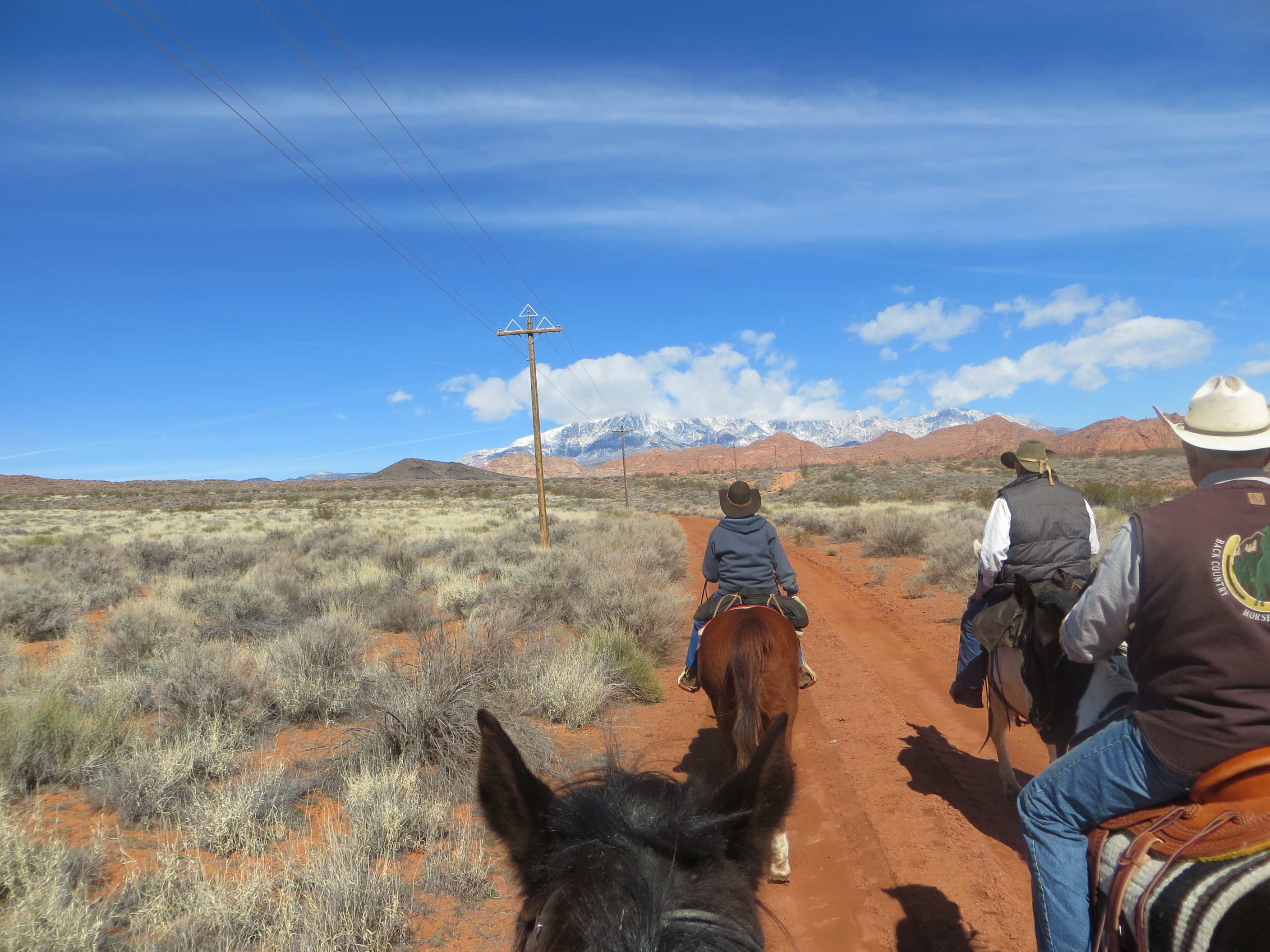
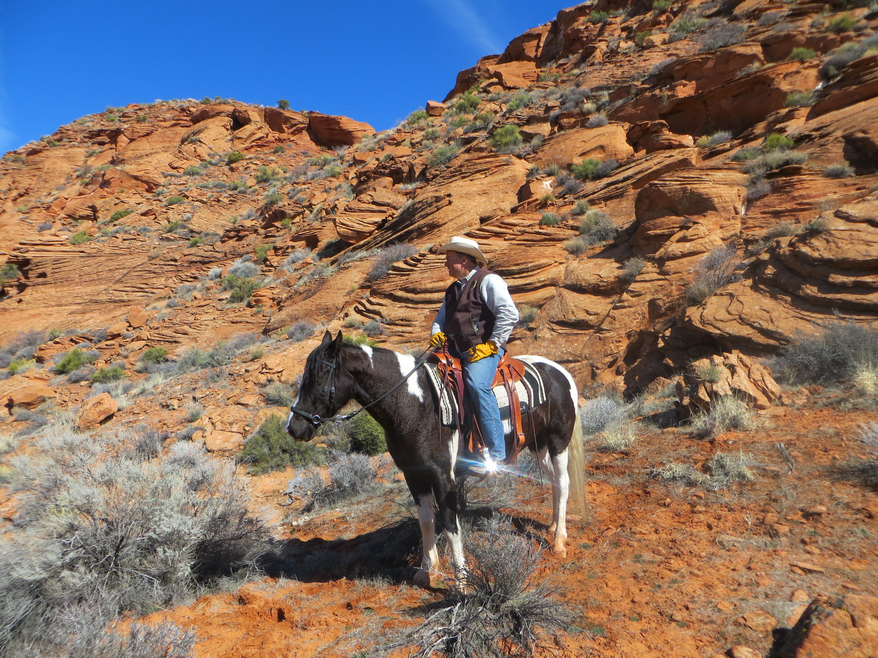
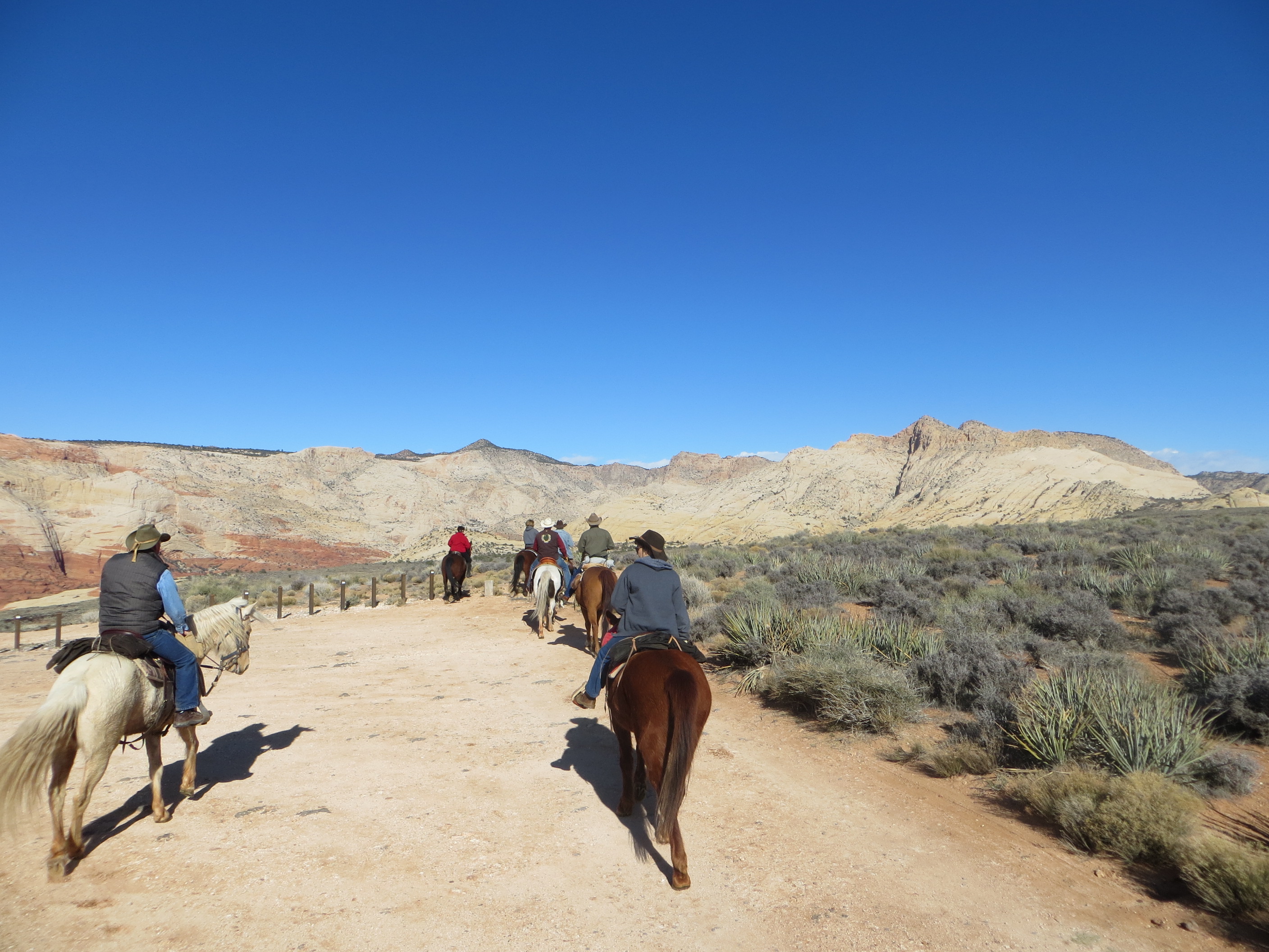
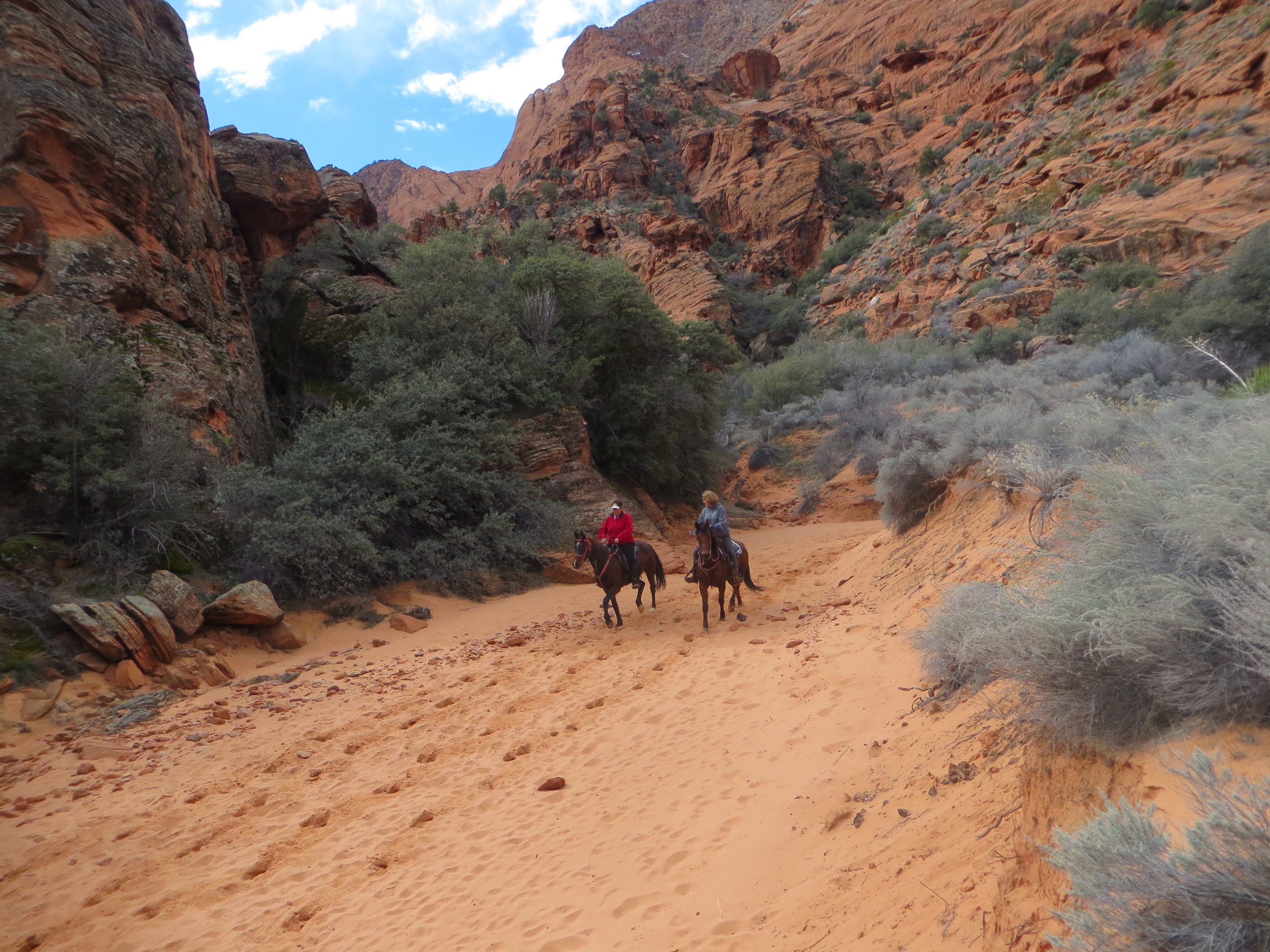
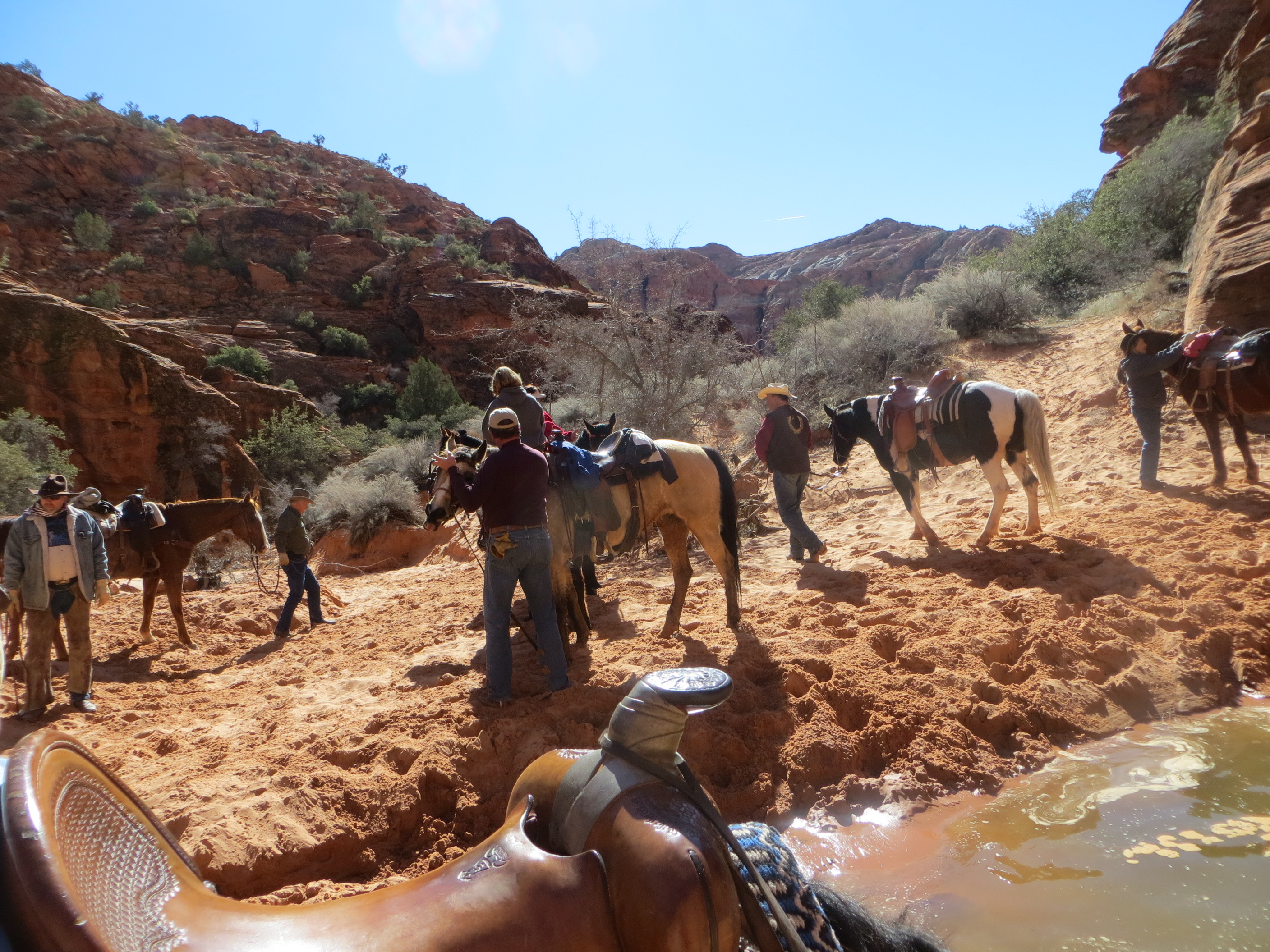
After looking at the curlies we headed back to the pasture to get the horse trailer and horses. After getting everybody loaded we headed for the trailhead for our ride. By noon we were saddled up and ready to head out. We were near St George Utah and headed up the Grapevine trail in the Red Cliffs Reserve. The first mile or two of this trail is a gravel road that is used occasionally by utility workers to access several water storage tanks. There is a gate that prevent any vehicles without a key from entering. But there is a nice step over bar that allows the horses to enter. This road gave us a place to work out the few forgotten manners the horses had developed over a long winter of standing in a corral. We headed for the pink mountains just in front of the snow covered mountains.
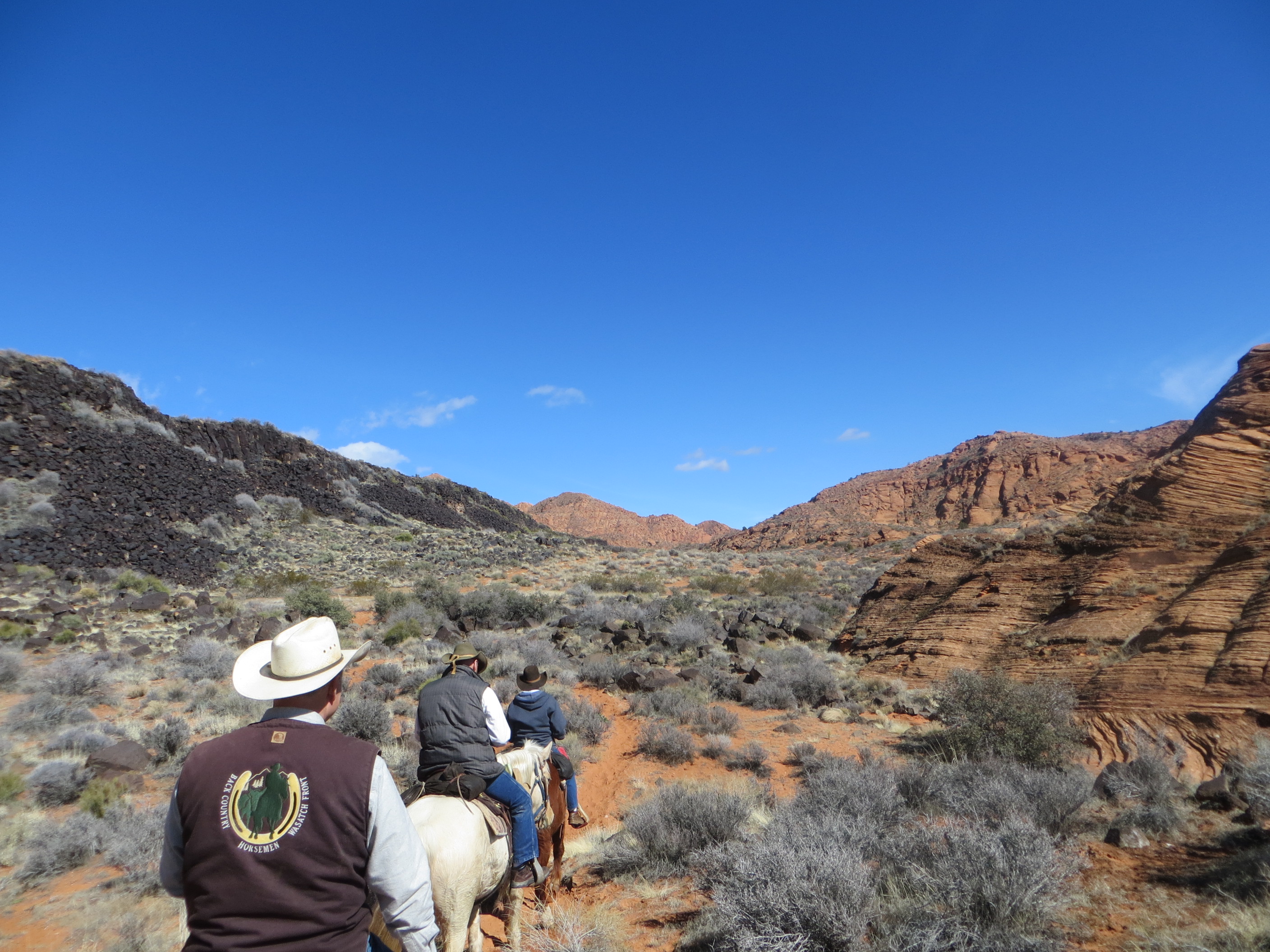
When we reached the pink mountains we picked up a single track trail called Brackens Loop. My horses have been barefoot, standing on snow and wet ground since November, so one of the reason we were here was for the sandy trails that would be easy on their bare feet.
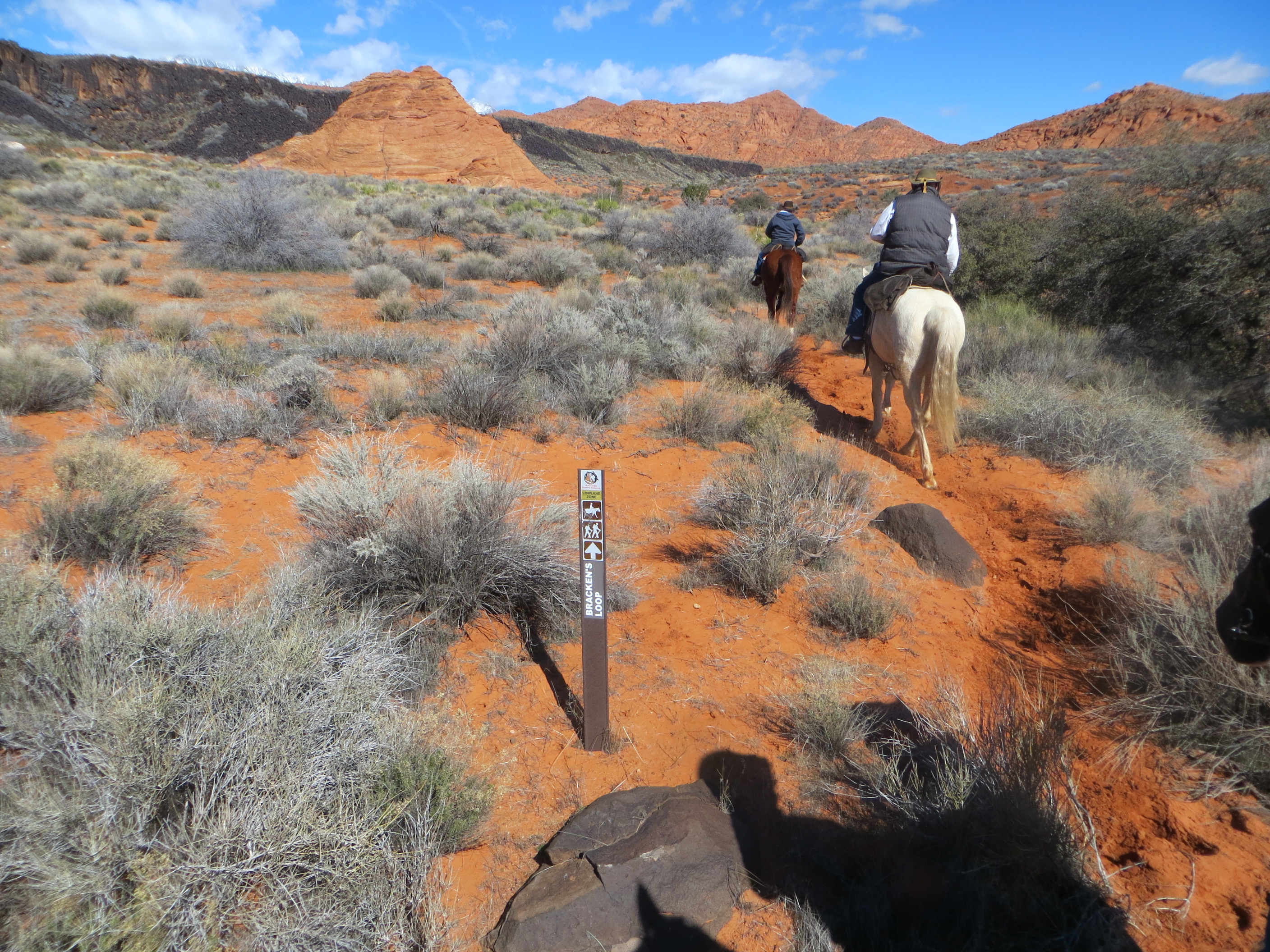
Brackens Loop weaves it way through the desert between the pink sand stone mountains and a black volcanic ridge.
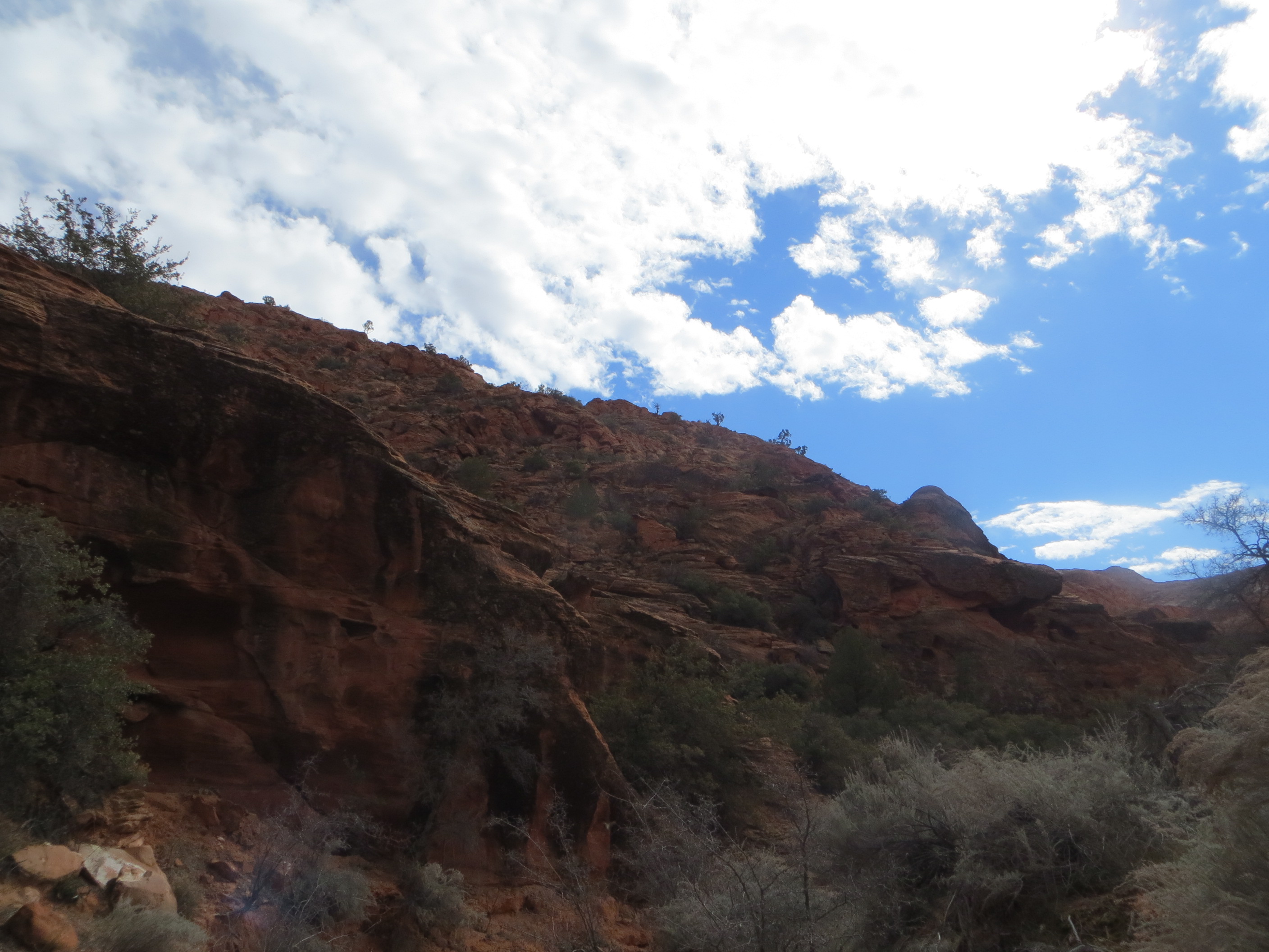
The colors are very vibrant. Red sand and sandstone, grey and greens of the vegetation, blue skies and of course our horses.
We finished the Bracken Loop by 3:00pm and said good by to our curlie friends who had joined us. We still felt like riding so we headed out on the Dino Cliffs trail for another hour of riding.
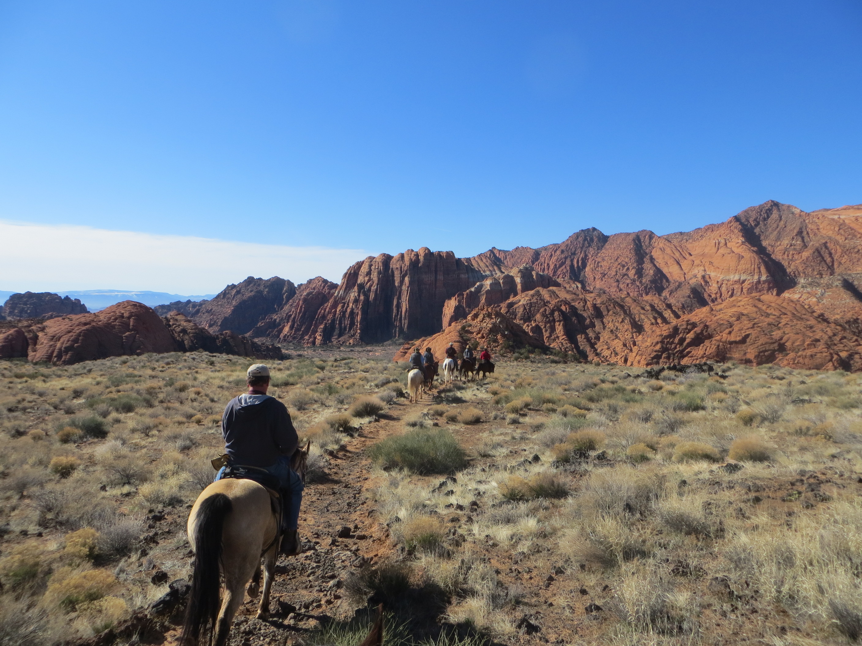
Since we were driving back home Saturday evening, we got a much earlier start on Saturday. We met two sister from the local Back Country Horseman chapter who were going to show us one of their favorite trails. We met at the Upper overlook for Snow Canyon. Again we actually had more non-member than members of the Foxtrotter club. The two sisters that were leading our ride were on their endurance horses and excited to see if the gaited horses could keep up with their big trot horses. And they put us to a serious test as they kept the group moving right along.
Snow Canyon is a state park. As such it has a few restriction. One of the first, was no dog loose in the park. So mike’s german sheppard found herself being shut into the back of a horse trailer for the day. This is probably a good place to mention, that being able to take horses into Snow Canyon has a lot to do with Back Country Horsemen’s efforts to keep the park open to equestrians. If you enjoy these kind of trails it’s important to support Back Country Horsemen or similar groups that work to keep trails open to horses. It’s also a great way to find friends to ride with.
Snow Canyon has a lot of color in the rock formation, and starting from the upper overlook, we could see a lot of them.
As you descend off the higher bench, You pass through an area of volcanic rock and formation. It didn’t take long before my barefoot horses were looking for ways off the trail and off the sharp volcanic rocks.
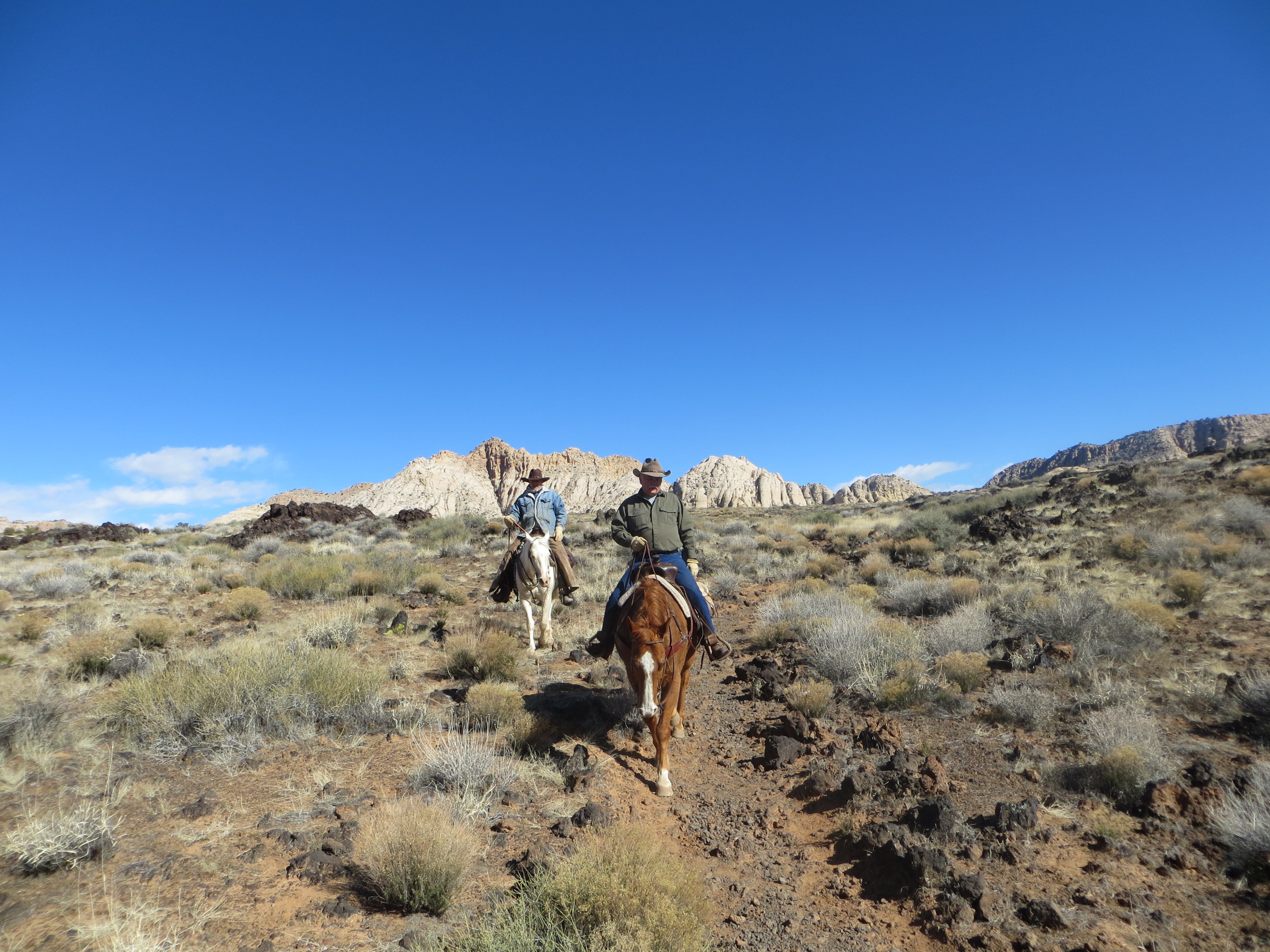
The sisters leading our group assured us this was the worst of the rocks and that we would soon be back in the sand.
We were riding the Gila Trail. It is a marked trail for hikers and horses that wanders through the brush and occasional volcanic caves that are found in the area. The trail is sandy but easy to follow and there are the occasional trail markers to help you find your way.
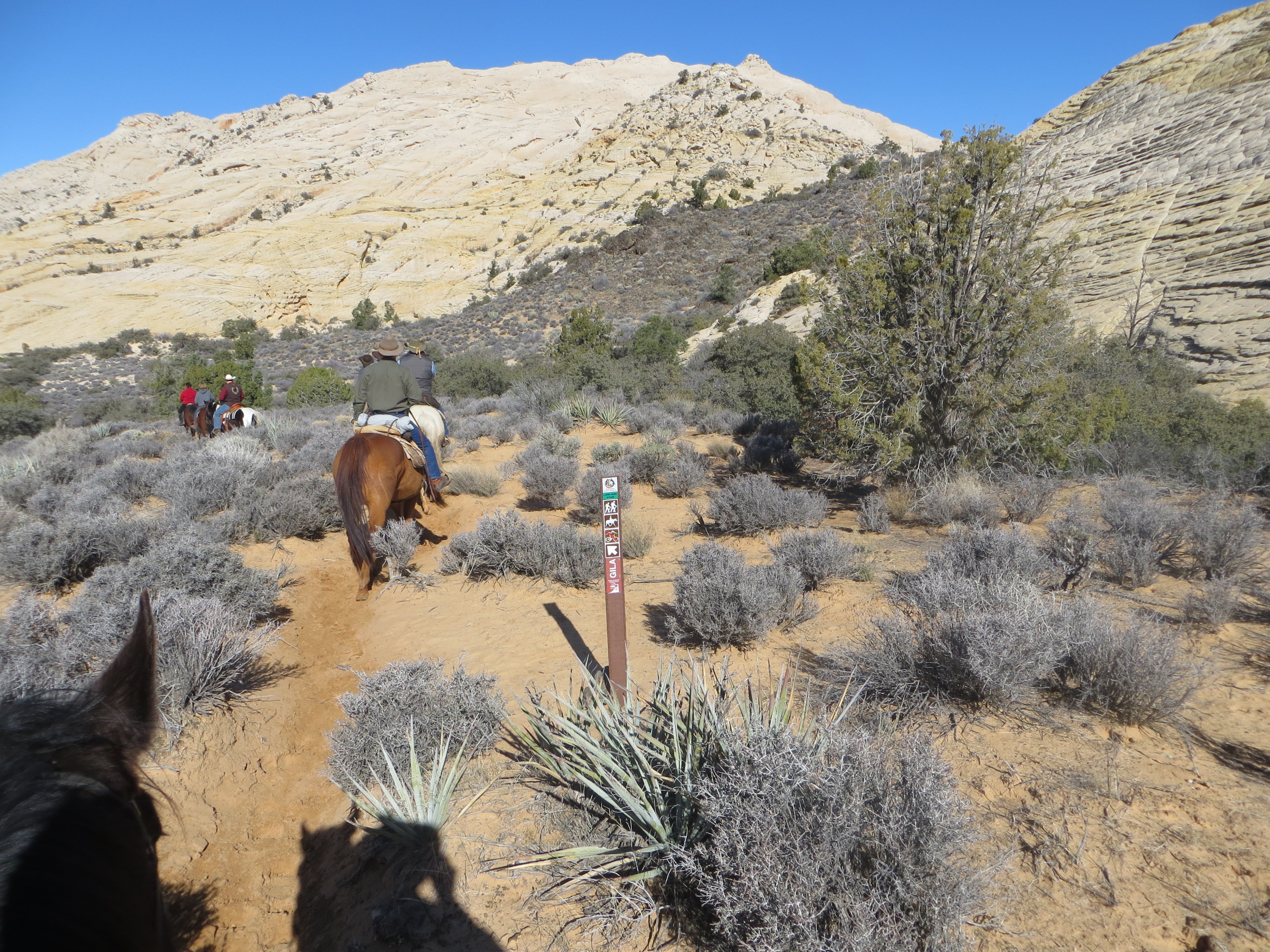
In the bottom of the canyon we were once again back in sandy footing and able to move the horses out at faster speed. Even one section of a sandy wash we all let the horse canter and got to whoop and holler.
At the dead end of this canyon were several ponds of water. The horses eagerly drank their fill and the riders broke out their lunches as we enjoyed the beauty.
As we started our ride back out. We noticed the cloud cover creeping in and the temperatures dropping a little. The forecast for the northern part of the state was for more snow. This area was not going to get the snow, but was feeling the effects of the weather front crossing the state.
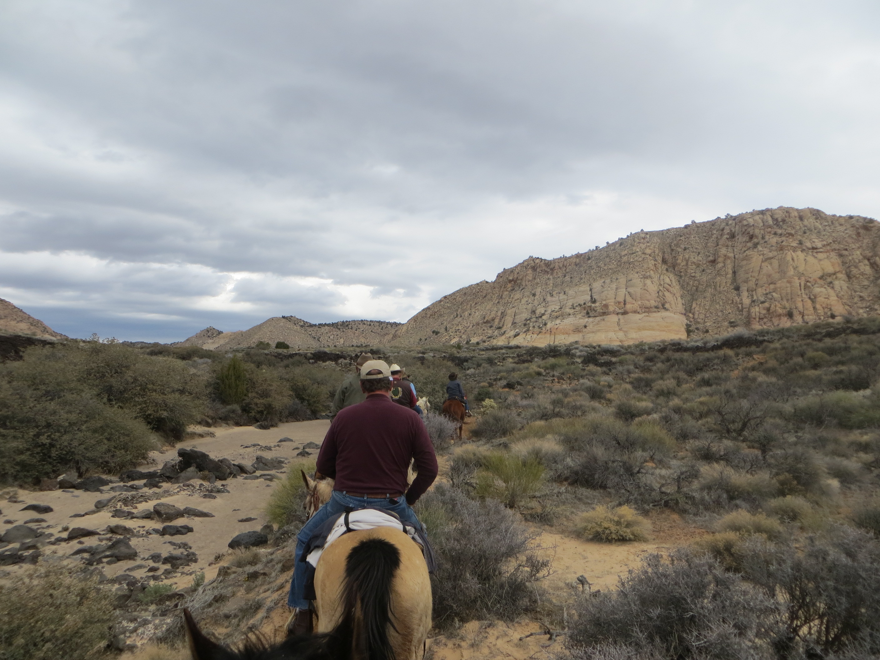
I had enjoyed the ride down into the canyon with out a jacket, But I was kinda wishing I had brought one by time I got back to the truck as the skies darkened and slight breeze picked up.
We said our goodbyes to our new friends and got the horses loaded and headed for home. As we got on I-15 heading north, an Over head sign was flashing that the interstate was closed a 112 miles north and we knew it was going to be a rough drive home in the storm. Our normal 5 hour drive home turned into 7 hours as we slowed for snow and icy road conditions. I left 56° in St George and returned to 16° and driveway that had 6” of new snow needing to be shoveled. Oh Well there is always next weekend, where should I go next?


 This is in Casto Canyon
 This is on the Thunder Mountain Trail that starts in Lower Red Canyon and ends up in Coyote Hollow.

 This is entering into Sheep Creek over in the Grand Staircase Escalante.
 A little farther down Sheep Creek
 The canyon walls will close in and you will enter some narrow slots.


