
During February, 2024, my good friend, Derek Habel, and I made a trip into Arizona for a ride in the Blue Range Primitive Area, in southeastern Arizona. “The Blue” as the area is known locally, is one of my favorite places in all the world. It is essentially a low mountain range split by the drainage of the Blue River, which runs south into a confluence with the San Francisco River. In 1905 Forest Service Employee W.H.B. Kent described the Blue Range as “no discernible mountain range, but rather a chaotic mass of very precipitous hills” (USFS website). It is an apt description. The Arizona side is a designated Primitive Area, while portions in New Mexico are designated Wilderness Areas, according to the Apache-Sitgreaves USFS website. It was the last primitive area designated in the U.S. National Forest system.
When I was a young 15 years old, I was introduced to “The Blue” by my father, who took my younger brother and I on our first real deer hunt with horses. He drove us down the dirt road known as Red Hill Road, to a particularly wide spot about 3/4 of the way to the bottom, where we made our camp and stayed a few days. During that short stay, I grew to love that area and it has had a lasting impact on my life.
In about 1990 or so, I took my son, my sister, and her boys on a backpack trip into the area known as Tut Creek. We hiked up a trail to a saddle just north of Foote Creek Mesa, where we made camp. The following morning, we hiked about a mile to Cleveland Spring, which was nothing more than a short pipe sticking out from under a rock, where we filled out canteens. From that day, I have wished to ride Cleveland Spring Trail from Tut Creek to Foote Creek.
So, with my riding buddy, Derek, I finally checked off that bucket list box .
The trailhead from which we started is the Tut Creek Trailhead. Getting there is pretty simple, but not without some adventure. Take US 191 south from Alpine, Arizona about 14.2 miles (You can come up from the Safford area, but this highway was once designated US 666 and is definitely not recommended for pulling a trailer longer than about 25 feet) then turn east on Red Hill Road.
Red Hill road, is a regularly maintained dirt road that winds down fairly steeply into the Blue. Near the bottom. I say “regularly maintained” however, that is rather subjective. It gets graded now and again. Don’t try it when it’s been raining. You may not make it. Follow that road downhill somewhere around 15-ish miles and you’ll pass the trailhead on the west side of the road. It’s about a quarter-mile from the Blue River crossing, so if you get to the river, you passed it.
Now, you can also get there by taking Blue Road, which heads south from US 180 just east of Alpine, Arizona. This road is a much better road, still dirt, but maintained more often, and less steep than Red Hill Road. When you reach Blue Crossing after about 22 miles, where Red Hill Road intersects Blue Road, turn north on Red Hill Road, cross the Blue River, and head up about a quarter mile and you should see a sign indicating the turnoff on the two-track to the trailhead. If you are towing a horse trailer, look to the east side of Red Hill Road and find a place where you can pull off and park. Dispersed camping is allowed, with the standard 14-day stay limit.
So, that settled, head west on the two-track about a half mile and you will find the official trailhead (coordinates: 33.63125, -109.1098). Third warning: Don’t try taking your trailer in there.
There you will find the trailhead signage, indicating it is designated for foot and equine travel; no mechanized vehicles.

Follow the trail until you cross Bush Creek. Somewhere along there you will find a trail sign indicating the various trails you can take from there. If you go right, you can take Red Hill Trail, which will take you to the top of the Blue Drainage, to a trailhead you would would have passed on the way in on Red Hill Road. If you go straight west, as we did, you will be on Cleveland Springs Trail.

Cleveland Springs Trail will take you up a lower canyon for about a mile or so, then abruptly turn up a side hill on a switchback to the south. As you climb the side hill, the trail will eventually sweep back toward the west to take you across a saddle on the north end of Foot Creek Mesa. There are a number of nice camp areas on that saddle and it is the place where I camped with my sister, her sons, and my son those many years ago.

Continue on westward on the trail, through a fence gap and you will begin your descent into Foot Creek. This trail is a bit sketchy, as there has been no maintenance of it in probably the past 50 years, but if you keep your eyes peeled, you can find your way across and down the mountainside to the creek.
(Click on a photo to get full-size)


Once at Foot Creek, you will see the trail intersection at a fence gap. If you turn right, or north, through the gap, you will begin the ascent to the top of Foot Creek Trail. If you turn to the left, or south, following the creek as we did, you will descend to the Blue River, however, the trail is not well marked once you leave the creek bottom. We must have made a wrong turn once we got into the meadows at the bottom, because we had to do a bit of bushwhacking to get up to Blue Road.


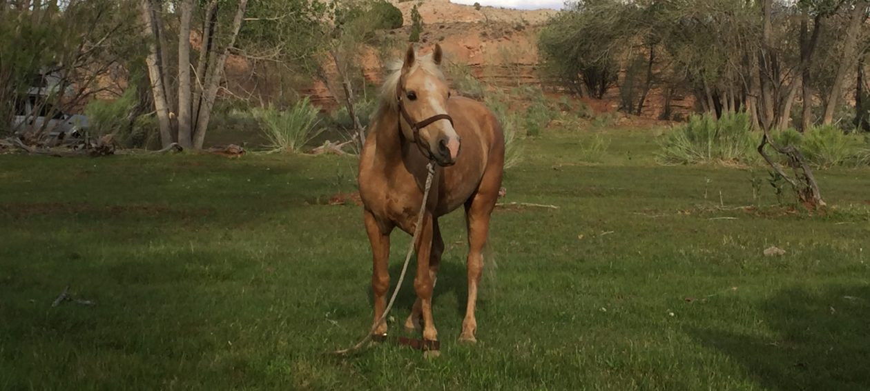
From there, we followed Blue Road eastward until we got back to Blue Crossing, turned north onto Red Hill Road, crossed the Blue River, and returned to our point of origin. The ride comprised a loop of about 6.5 miles and took us most of about 6 hours. Now, we were riding gaited horses, but there are mighty few places on that ride where one would be able to gait along at a decent pace. With the ups and downs, and switchbacks, and bushwhacking, I guess about 1 mile per hour was about right.
Here’s a compilation of some videos we took on the ride (or see my YouTube channel at Western Trail Rider).
Since the Wallow Fire of 2011, many of the trails in The Blue, such as Foot Creek Trail, KP Mesa Trail, Grant Creek Trail, and Steeple Creek Trail, all of which were once nationally know trails, have nearly disappeared. I have been told Grant Creek Trail is impassable, but I have made it all the way down. I was told Red Hill Trail is impassable, but I and a couple friends made it all the way from the bottom to the top. I have been told Foot Creek Trail is impassable, as well, and it may be, above Cleveland Springs Trail, but we were able to make it from there to the Blue. I guess a lot depends on how badly you want to get from one place to another and how much faith you have in your horses.
For me, as I said before, this was a bucket-list ride I had been wanting to do for nearly 35 years and I enjoyed every minute of it. While the trail has not been maintained in many years, the wildlife and cattle use it, as do the cowboys who still run cattle in the area, but it sees very little travel from visitors. There are places on most of the trails where one really has to hunt around to find the old trail, but if you know what to look for, it can be found.
One day, if life lets me, I would love to spend a couple summers riding up and down all those trails and restore and re-mark them all, so hikers and horse riders can once again enjoy my favorite place in all the world.
Happy Trails.
TH

You must be logged in to post a comment.