After much consideration, and with advice from friends who have been there and done that, I have roughed out what I think will be my route through southern Utah up to Panguitch. It will go something like this:
After coming up out of the Grand Canyon, we’ll follow the Arizona Trail up to the AZ/UT border, with one small deviation. I think we’ll probably stop at Jacob’s Lake for a hot meal and whatever else we can get there. It looks like we’ll have plenty of water and grass for the stock, but a soda pop might sound pretty good about then.
A few miles north, the trail turns northeasterly and eventually intersects House Rock Valley Road at the AZ/UT border, or thereabouts. We’ll follow that road north to US 89, cross under the highway at the culvert, then continue north about another 8-10 miles, until we pick up Paria River. We’ll follow Paria River northwest to Sheep Creek, and follow that until it intersects with Willis Creek.
Pictures Jon Tanner has posted of Willis Creek, indicate that we’ll likely have to remove the packs from the pack horses to get them through a couple narrow passages in the canyon, but it’s just too intriguing to pass up.
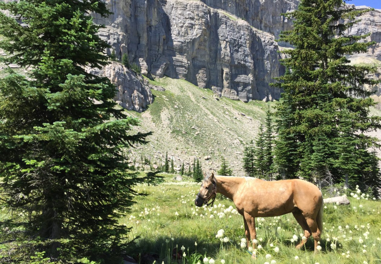
We’ll follow Willis Creek up until it meets The Grandview Trail (GVT) near the eastern border of Bryce Canyon National Park. BCNP doesn’t allow horse packing or camping with horses in the park, and they have very tight restrictions on dogs, so we’ll be staying outside the park boundaries. The GVT will take us through country similar to Bryce and we’ll be able to see much of Bryce Canyon from not too much of a distance, so we won’t completely miss out on it.
The GVT follows the Paunsaugunt Plateau’s edge from BCNP, around the southern point, then back up northerly to Red Canyon, through which Route 12 passes coming down off the plateau. We’ll follow Rt 12 west to Casto Road and follow that on north to Panguitch.
Panguitch will be one of the major rest and resupply stops for us. My dad was born and raised in Panguitch. He and I talked for many years about making a horse trip from Tucson, AZ, then later from Eagar, AZ to Panguitch, but we were never able to put it together. Now that I have the opportunity, I couldn’t miss the chance to incorporate that segment into my Mexico to Canada ride. I am hoping that Dad can make the ride with me from Eagar, through the Grand Canyon, and up to Panguitch. He’ll be turning 81 shortly after our arrival there.
I’m deep into planning the next segment of the trip, from Panguitch to Strawberry Reservoir. I have a few details to figure out, but I should be able to post a rough draft of that segment within a few days.
One thing I have learned as I have planned my routes, is that looking at topographical maps on a computer is a frustrating and uncertain thing. Looks like I’ll be spending a fortune on maps before I make the trip. Not only that, but there are so many trails and optional routes in Utah, that I would not want to travel through it without actual paper maps with me. Besides, I have no doubt we will alter our routes here and there, as we go.
You see, I have this terrible illness. It’s called “What’s over there-itis.” Sometimes I just have to see “what’s over there”!

Click on the map to get a larger image.
🙂
Well, between the two of us, I’m looking forward to a great experience. I’ve always dreamed of doing a trip like this with you. Let’s do it!