It’s been since June that I last posted on the blog. No real excuse. I’ve been pretty busy, working off the debt I incurred on the first leg of the trip. I’ve been working more than I anticipated, which I guess is good, but it has turned my focus and energies away from horses and pack trips for the past several months. This afternoon I decided it was time to get going again and get things planned and preparations started. So, this afternoon I spent some time going over the proposed route from Eagar, Arizona to Panguitch, Utah.
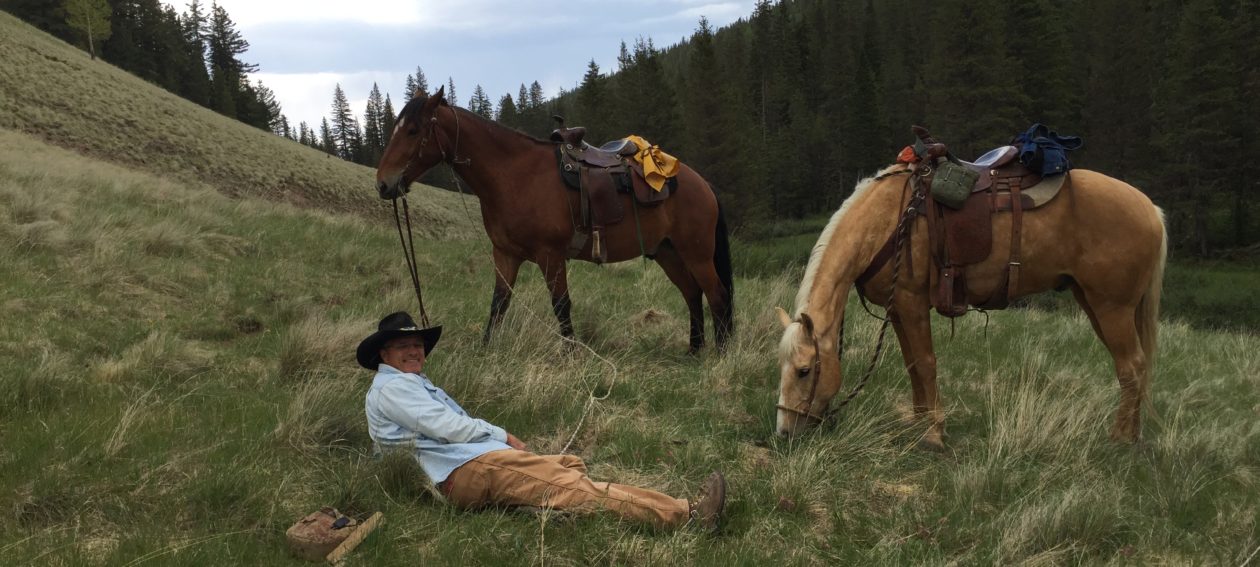
Last spring, Dad and I departed the US/Mexico Border, about 20 miles east of Douglas, Arizona, and headed north on April 11, 2015. We spent 28 days making our own route, following ranch roads, county roads, highways, and overgrown and unmaintained mountain trails, on our way northward to Eagar, Arizona, where my parents reside. According to my DeLorme Explorer GPS unit, we made 355 miles on that leg.
We had intended to go on with the second leg of the trip, from Eagar, through the Grand Canyon, and on to Panguitch, Utah, after a short rest and resupply there at Eagar, but by the time we got there we knew we were done. We learned a lot about ourselves, our gear, and our horses on that first leg and we knew we had to make some adjustments before we started the second leg. Wisdom dictated that we stop for the year and start again next spring.
This leg of the trip will start at Dad’s place in Eagar. We will make our way to Show Low, Arizona, about 50 miles west, via US Route 60. The highway is a very direct route and it will help us avoid fences. The right-of-way is quite wide and traffic is fairly light most of the time. There is grass along the highway, whereas it’s tough to find otherwise, so it will help us supplement the horses’ feed. Additionally, we’ll need some logistical help along this route, due to the scarcity of pasture and water, so it will be pretty easy to find us and get supplies to us, making it easier on our help.
I expect we’ll make our way right down the main drag in Show Low, from one end of town to the other. On the west side of town, we’ll continue following US 60 south until we hit the Mogollon Rim Road. We’ll follow that westward, following the Mogollon Rim for about another 130 miles, until we reach the Arizona Trail. That marks the last of our own navigation until we reach the Utah border.
From there, the Arizona Trail is very well documented. The AZT website, of which I am a contributing member, offers all the information one could hope for, including GPS verified mileage, waypoints, water sources, elevations, and even trail stewards, whose names and contact information are posted in connection to their respective trail sections. So, all the guess work is done from there to the Utah Border. Another 220.5 miles will bring us to the border of the Grand Canyon National Park.
Crossing through the Grand Canyon is the “crown jewel” of this trip. This is something Dad and I have dreamed about since we first started talking about it, over 40 years ago. Since the mileage works out to 34 miles from border to border of the park, and since there are camping and horse use restrictions in the park to deal with, there are timing and logistical details that still need to be worked out. We will definitely need to stay a night in the canyon, and possibly one other night in the park. Besides, how could we possibly pass up the opportunity of staying at least one night with our horses in the Grand Canyon? I look very much forward to that.
When I planned for this portion of the trip last year, I found the Park Service people to be very helpful and pleasant to deal with. I was actually surprised at how helpful they were. Their suggestions resulted in my reserving a space at the Mather Campground, where there are horse facilities, for a week. Since I was unable to reserve a campsite in the canyon, they suggested I take the Mather Campground space and simply wait. They were fairly confident a cancellation would occur, allowing them to find us a campsite for ourselves and our horses within that week’s time. Well, it all came to naught last spring, so I had to cancel my campsite reservation.
This year, I will have a better idea of when we should arrive at the park, so I will be able to make reservations with a reasonable chance of making it on time. I plan to make the campsite reservation at Mather Campground for about the time we should arrive and a week after, making the campsite reservations in the bottom of the canyon, hopefully at phantom Ranch, for the end of that week. Thus giving us and the horses a few days of rest before we head down the trail into the canyon. I’ll be making those reservations next month, as they don’t accept the applications more than four months in advance.
Once we reach the northern border of the Grand Canyon National park, we will have another 66.4 miles to the Utah border.
From that point, we will be back on our own navigation. We plan to head north into Paria Canyon, following the river northward to Willis Creek, just south of Cannonvile. We will take Willis Creek westward toward Bryce Canyon National Park, until we join with the Grandview Trail. This trail will take us around the southern end of the Paunsaugunt Plateau, where we will join Casto Road near Red Canyon on the west side of the plateau. From there we will follow Casto Road on into Panguitch, where we will end our ride for the year.
According to my calculations, the entire second leg of the trip will comprise approximately 570 miles. Adding a fudge-factor of 25%, I come up with 712 miles, so that will be our high estimate. However, since the Arizona Trail portion makes up about 320 miles of the trip, no fudge factor is needed for those miles. A closer estimate would be about 631 miles, with the fudge-factor being applied only to the non-AZT portions of the trail.
If we travel at the average rate of 15 miles per day, that makes about 42 travel days. If we take two rest days per week, like we originally planned (but didn’t do), that makes about 8-1/2 weeks of total travel time. We are likely to spend a few days at resupply places here and there, and maybe a week at Mather Campground in the Grand Canyon, I think we can conservatively figure on the trip taking us about ten weeks.
For some reason, I couldn’t get any images to upload. Looks like I’m going to need some more work done on the website. I’ll get some pictures up soon.
Next post, I’ll discuss some of the adjustments we will need to make for this leg of our Mexico-to-Canada horse pack trip.