
From the first day I moved to Salem, Utah, the trail up to Santaquin Peak has been calling my name. I can see it from my house.

This trail is actually an ATV service trail for a radio transmission tower located right on top of one of the smaller peaks of the mountain. However, up in the tops of the mountains, which are part of the Wasatch range, this trail connects with a small network of trails that traverse the ridges, connecting Santaquin Peak and Loafer Mountain peak, and return to the lower lands surrounding them on all four sides.

There are a number of points at which one could start a pack trip and access those trails, but the one I can see from my house is the one calling me.

The problem, however, is that the foot of this trail runs through private property located near the foot of Santaquin Peak, which is owned by a family corporation that owns the Dream Mine. In order to get permission to pass through, one has to know the right people. I know people who know the right people, but you know how that is.
Well, for the past couple weeks I have been taking rides toward the mountain, keeping an eye out for anything that looks promising as a trail to go around the private property on public lands and connect with the trail higher up, above the Dream Mine. Today I think I found a way.
I took a nice long ride on J Golden this afternoon and we decided to explore a little. We headed northeast on the Highline Canal road, out of Salem, practicing J’s run-walk (which gets better all the time). About the time we left Salem and entered Spanish Fork’s territory, we found a place where the canal is covered, which allowed us to cross over to the eastern side. At this point we were north of the Dream Mine area and there was no fence or “posted” signs (I’m still not sure it is public, but there was nothing to indicate otherwise).

We followed a trail up into the foothills and it eventually connected with an ATV trail that runs north-south along the base of the mountains. We took the north fork last week, so this time we headed south. After about a half-mile, the trail turned into Flat Canyon and continued to climb. We followed it probably a half mile or so further, before turning around. On the way back down, I spied what was once a road, which probably connected the mine to a spring in the canyon, now completely overgrown with thicket. Since the road led off toward the mine, we decided to give it a try.

As luck would have it, the old road connected with a fairly good two-track that, in fact, led right to the mine. We found an unlocked and open gate on this road. Since there were no “No Trespassing” signs and the gate was open, we felt comfortable passing through. We followed it up until I was sure the road connected with the service trail to the radio tower, then turned around and headed back toward home.
The trail we rode took us a couple hours and the climb was a good workout for J, whom I am working on getting “legged-up” for a trip up the mountain sometime later this summer.

The discovery of this trail and the fact that it seems to pass above and north of the private property of the mine (referring to the trail up Flat Canyon) has me excited. I may not be able to ride the trail I can see from my house, but at least I now know I can start my pack trip up the mountain directly from my pasture and return the same way if I want.
So, I am now officially planning a short pack trip, maybe three days, up in the mountains east of Salem, Utah, during which I will see if I can get horses to the top of Loafer Mountain and Santaquin Peak. Looking at the peaks and trails on Google Earth, it appears possible, but I won’t know until I get up there. Regardless, it should be a very nice pack trip.
I promised myself a couple summers ago, that I was going to ride over all the major trails on Loafer Mountain and its foothills. I’ve ridden a few on the south side, but have yet to actually make a serious try toward the peaks. I’m looking forward to it.
Well, let’s see now. What does my calendar show for June?
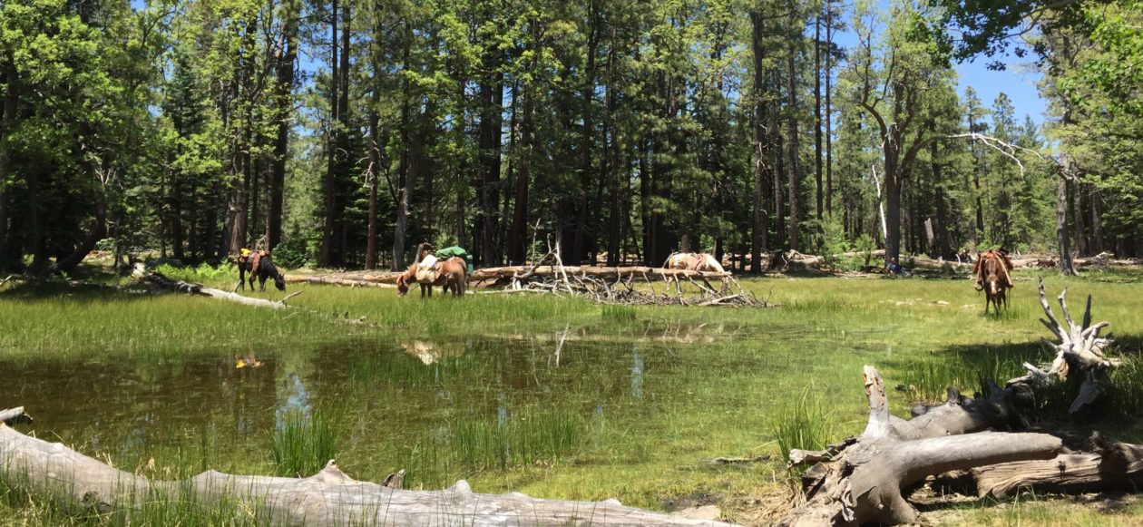
Doesn’t get much better than to take a ride like this in an afternoon, right from my pasture.


You must be logged in to post a comment.